Lideta Army Airport
| Lideta Airport | |||||||||||
|---|---|---|---|---|---|---|---|---|---|---|---|
_AN0457032.jpg) Aerial view of the Lideta airport in Addis Ababa. | |||||||||||
| IATA: none – ICAO: HAAL | |||||||||||
| Summary | |||||||||||
| Airport type | Military | ||||||||||
| Operator | Closed | ||||||||||
| Location | Addis Ababa | ||||||||||
| Elevation AMSL | 7,749 ft / 2,362 m | ||||||||||
| Coordinates | 9°00′13″N 38°43′34″E / 9.00361°N 38.72611°ECoordinates: 9°00′13″N 38°43′34″E / 9.00361°N 38.72611°E | ||||||||||
| Map | |||||||||||
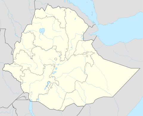
 HAAL Location in Ethiopia | |||||||||||
| Runways | |||||||||||
| |||||||||||
|
Sources: World Aero Data[1] | |||||||||||
Lideta Airport (ICAO: HAAL) also colloquially known as the Old Airport is a decommissioned military airport located in Addis Ababa, Ethiopia. Formerly the main air hub for the Addis Ababa area, in 1960, Ethiopian Airlines realized the runway at Lideta was too short for its new jet aircraft, the Boeing 720. Thus a new airport was built at Bole and Lideta was converted to function solely for Ethiopian military activities.
Accidents and incidents
- 5 September 1961: An Ethiopian Air Lines Douglas C-47A, registration ET-T-16, crashed south of Sendafa, shortly after takeoff from Lideta, following a propeller malfunction. Five of 19 occupants of the aircraft perished in the accident. The aircraft was due to operate a domestic non-scheduled Addis Ababa-Asmara passenger service.[2]
- 30 November 1963: An Ethiopian Air Lines Douglas C-47A, tail number ET-AAT, banked to the left on the takeoff run and swerved off the runway. There were no reported fatalities, but the aircraft was written off.[3]
See also
 Ethiopia portal
 Aviation portal
- List of airports in Ethiopia
References
- ↑ Airport information for HAAL at World Aero Data. Data current as of October 2006.
- ↑ Accident description for ET-T-16 at the Aviation Safety Network. Retrieved on 23 March 2012.
- ↑ Accident description for ET-AAT at the Aviation Safety Network. Retrieved on 22 March 2012.
External links
- Airport information for Lideta Airport at Great Circle Mapper. Source: DAFIF (effective October 2006).
This article is issued from Wikipedia - version of the 12/4/2016. The text is available under the Creative Commons Attribution/Share Alike but additional terms may apply for the media files.