Limón International Airport
| Limón International Airport Aeropuerto Internacional de Limón | |||||||||||
|---|---|---|---|---|---|---|---|---|---|---|---|
| IATA: LIO – ICAO: MRLM | |||||||||||
| Summary | |||||||||||
| Airport type | Public | ||||||||||
| Operator | Dirección General de Aviación Civil | ||||||||||
| Location | Limón, Costa Rica | ||||||||||
| Elevation AMSL | 2 m / 7 ft | ||||||||||
| Coordinates | 09°57′28″N 083°01′19″W / 9.95778°N 83.02194°WCoordinates: 09°57′28″N 083°01′19″W / 9.95778°N 83.02194°W | ||||||||||
| Map | |||||||||||
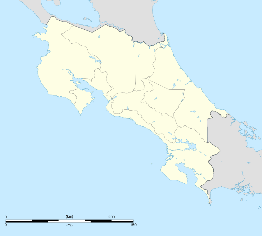 MRLM Location in Costa Rica | |||||||||||
| Runways | |||||||||||
| |||||||||||
Limón International Airport (Spanish: Aeropuerto Internacional de Limón) (IATA: LIO, ICAO: MRLM) in Limón, Costa Rica, is one of the four international airports in that country. It re-opened on Saturday, 1 July 2006 after being closed nearly 20 years for domestic flights.
The Presidency Ministry announced in June 2011 that Sansa Airlines would begin regular scheduled flights four times a week to Limón Airport, beginning in July and costing ₡30,000–₡75,000 ($60–$150), to increase tourism to Limón Province.[4][5]
Puerto Limón and the southern Caribbean area towns of Cahuita, Puerto Viejo, Manzanillo and Gandoca, as well as the indigenous communities of Bri Bri, Hone Creek, Carbon 1 and 2, Shiroles and Suretka are all within two hours of the airport by ground transportation.
Nature Air domestic airline currently only flies charter flights to Limón. SANSA Regional Airline also flies charter flights upon request from San Jose's Juan Santamaria International Airport.
Airlines and destinations
| Airlines | Destinations |
|---|---|
| Nature Air | San José, Tortuguero |
Climate
| Climate data for Limón International Airport, Costa Rica | |||||||||||||
|---|---|---|---|---|---|---|---|---|---|---|---|---|---|
| Month | Jan | Feb | Mar | Apr | May | Jun | Jul | Aug | Sep | Oct | Nov | Dec | Year |
| Average high °F (°C) | 80 (27) |
80 (27) |
82 (28) |
83 (28) |
83 (28) |
83 (28) |
82 (28) |
82 (28) |
84 (29) |
83 (28) |
81 (27) |
80 (27) |
81.9 (27.7) |
| Average low °F (°C) | 71 (22) |
71 (22) |
72 (22) |
73 (23) |
75 (24) |
75 (24) |
74 (23) |
74 (23) |
75 (24) |
75 (24) |
73 (23) |
72 (22) |
73.3 (22.9) |
| Average precipitation inches (mm) | 12.56 (319) |
7.90 (200.7) |
7.61 (193.3) |
11.30 (287) |
11.08 (281.4) |
10.87 (276.1) |
16.06 (407.9) |
11.37 (288.8) |
6.42 (163.1) |
7.80 (198.1) |
14.45 (367) |
15.81 (401.6) |
133.23 (3,384) |
| Source: Weather Underground[6] | |||||||||||||
See also
 Costa Rica portal
 Aviation portal
- Transport in Costa Rica
- List of airports in Costa Rica
References
- ↑ AIP - Part 3 Aerodromes
- ↑ Airport information for LIO at Great Circle Mapper.
- ↑ Google Maps - Limón
- ↑ New flights to Limón seek to drive up tourism The Tico Times 14 June 2011.
- ↑ Turismo podrá volar a Limón a partir de julio La Nación, 15 June 2011.
- ↑ "Weather for Limon International Airport". Weather Underground.
http://www.sansacostarica.com/