Linden Airport (Guyana)
For other uses, see Linden Airport.
| Linden Airport | |||||||||||
|---|---|---|---|---|---|---|---|---|---|---|---|
| IATA: none – ICAO: SYLD | |||||||||||
| Summary | |||||||||||
| Airport type | Public | ||||||||||
| Operator | Government | ||||||||||
| Serves | Linden, Guyana | ||||||||||
| Elevation AMSL | 180 ft / 55 m | ||||||||||
| Coordinates | 5°57′57″N 58°16′13″W / 5.96583°N 58.27028°W | ||||||||||
| Map | |||||||||||
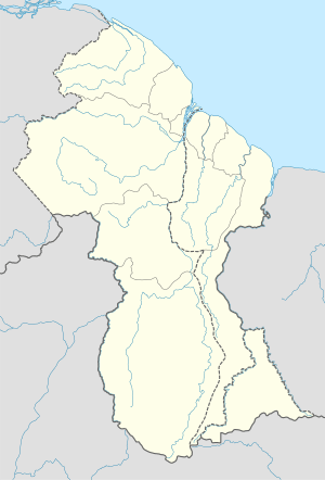 SYLD Location in Guyana | |||||||||||
| Runways | |||||||||||
| |||||||||||
Linden Airport (ICAO: SYLD) is an airport serving Linden, the capital of the Upper Demerara-Berbice region of Guyana.
Facilities
The airport elevation is 180 feet (55 m) above mean sea level. Its runway is designated 11/29 with an asphalt surface measuring 5,000 by 98 feet (1,524 m × 30 m).[1]
See also
 Guyana portal
 Aviation portal
- List of airports in Guyana
- Transport in Guyana
References
- 1 2 Airport information for SYLD from DAFIF (effective October 2006)
- ↑ Airport information for SYLD at Great Circle Mapper. Source: DAFIF (effective October 2006).
- ↑ Bing Maps - Linden
External links
This article is issued from Wikipedia - version of the 5/29/2016. The text is available under the Creative Commons Attribution/Share Alike but additional terms may apply for the media files.