Liqiliqini (Cochabamba)
This article is about the mountain in the Cochabamba Department, Bolivia. For other uses, see Liqiliqini.
| Liqiliqini | |
|---|---|
 Liqiliqini Location within Bolivia | |
| Highest point | |
| Elevation | 4,400 m (14,400 ft) [1] |
| Coordinates | 17°09′36″S 66°29′49″W / 17.16000°S 66.49694°WCoordinates: 17°09′36″S 66°29′49″W / 17.16000°S 66.49694°W |
| Geography | |
| Location |
Bolivia, Cochabamba Department |
| Parent range | Andes |
Liqiliqini (Aymara liqiliqi, liqi liqi Southern lapwing or Andean lapwing,[2][3] -ni a suffix to indicate ownership, "the one with the Southern lapwing (or Andean lapwing)", also spelled Lekhe Lekheni) is a mountain in the Bolivian Andes which reaches a height of approximately 4,400 m (14,400 ft). It is located in the Cochabamba Department, Ayopaya Province, Morochata Municipality. It lies east of the village of Paranani.[1][4]
The Chullpa Q'asa Mayu ("chullpa pass river", Chullpa Khasa Mayu) which downstream is named Pukarani originates at the mountain. It flows to the northwest as an affluent of the Santa Rosa River.[1]
References
- 1 2 3 Bolivia 1:100,000 Independencia 3536, Map prepared and published by the Defense Mapping Agency, Hydrographic/Topographic Center, Bethesda, MD
- ↑ Radio San Gabriel, "Instituto Radiofonico de Promoción Aymara" (IRPA) 1993, Republicado por Instituto de las Lenguas y Literaturas Andinas-Amazónicas (ILLLA-A) 2011, Transcripción del Vocabulario de la Lengua Aymara, P. Ludovico Bertonio 1612 (Spanish-Aymara-Aymara-Spanish dictionary)
- ↑ "Diccionario Bilingüe, Castellano - Aymara, 2002". Félix Layme Pairumani. Retrieved March 31, 2016. (see: Ave zancuda)
- ↑ "Morochata". INE, Bolivia. Retrieved March 31, 2016.
Capital: Cochabamba | ||
| Provinces | 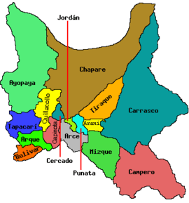 | |
| Municipalities (and seats) |
| |
This article is issued from Wikipedia - version of the 3/31/2016. The text is available under the Creative Commons Attribution/Share Alike but additional terms may apply for the media files.