List of airports in Luxembourg
ELEA
ELET
ELLC
ELLK
ELLX
ELLZ
ELNT
ELUS
ELMD
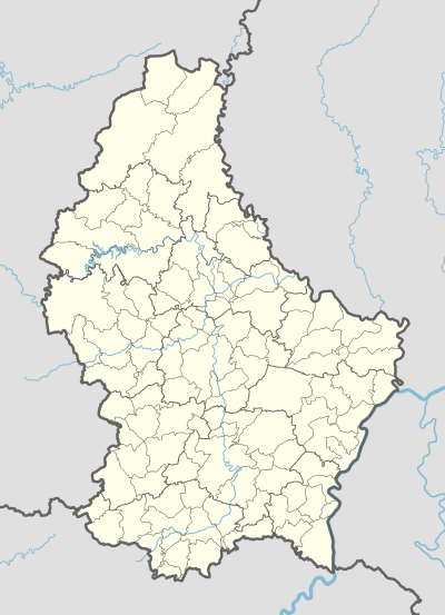
Location of airports in Luxembourg
This is a list of airports in Luxembourg, sorted by location.
List
Current airports
| Location | ICAO | IATA | Airport name | Coordinates | References |
|---|---|---|---|---|---|
| Esch-sur-Alzette | ELEA | Centre Hospitalier Emile Mayrisch Heliport | 49°30′03″N 005°58′06″E / 49.50083°N 5.96833°E | [1] | |
| Ettelbruck | ELET | Saint-Louis Hospital Heliport | 49°51′16″N 006°05′40″E / 49.85444°N 6.09444°E | [2] | |
| Luxembourg City | ELLC | Centre Hospitalier de Luxembourg Heliport | 49°37′09″N 006°06′09″E / 49.61917°N 6.10250°E | [3] | |
| Luxembourg City | ELLK | Kirchberg Hospital Heliport | 49°37′58″N 006°10′38″E / 49.63278°N 6.17722°E | [4] | |
| Luxembourg City | ELLX | LUX | Luxembourg Findel Airport | 49°37′24″N 006°12′16″E / 49.62333°N 6.20444°E | [5][6] |
| Luxembourg City | ELLZ | Clinique Sainte-Thérèse Heliport | 49°36′12″N 006°07′41″E / 49.60333°N 6.12806°E | [7] | |
| Noertrange/Wiltz | ELNT | Noertrange Airfield (Wiltz-Noertrange Airfield) | 49°58′52″N 005°55′04″E / 49.98111°N 5.91778°E | [8] | |
| Useldange | ELUS | Useldange Airfield | 49°46′04″N 005°58′03″E / 49.76778°N 5.96750°E | [9] |
Abandoned airports
| Location | ICAO | IATA | Airport name | Coordinates | References |
|---|---|---|---|---|---|
| Medernach | ELMD | Kitzebur/Medernach Aerodrome (Kitzebour Ultralight Airfield) | 49°47′21″N 006°14′30″E / 49.78917°N 6.24167°E | [10] |
See also
- Transport in Luxembourg
- List of airports by ICAO code: E#EL – Luxembourg
- Wikipedia: Airline destination lists: Europe#Luxembourg
References
- ↑ AIP for ELEA – Centre Hospitalier Emile Mayrisch Heliport from Belgocontrol
- ↑ AIP for ELET – Saint-Louis Hospital Heliport from Belgocontrol
- ↑ AIP for ELLC – Centre Hospitalier de Luxembourg Heliport from Belgocontrol
- ↑ AIP for ELLK – Kirchberg Hospital Heliport from Belgocontrol
- ↑ AIP for ELLX – Luxembourg Findel Airport from Belgocontrol
- ↑ "IATA Airline and Airport Code Search". International Air Transport Association.
- ↑ AIP for ELLZ – Clinique Sainte-Thérèse Heliport from Belgocontrol
- ↑ AIP for ELNT – Noertrange Airfield from Belgocontrol
- ↑ AIP for ELUS – Useldange Airfield from Belgocontrol
- ↑ "Abandoned, Forgotten & Little-Known Airfields in Europe". Ronald V.
External links
![]() Media related to Airports in Luxembourg at Wikimedia Commons
Media related to Airports in Luxembourg at Wikimedia Commons
This article is issued from Wikipedia - version of the 6/18/2016. The text is available under the Creative Commons Attribution/Share Alike but additional terms may apply for the media files.