Loch of Stair
The Loch of Stair was a typical Ayrshire post-glacial 'Kettle Hole', situated in a low lying area below the farm of Loch Hill, in the Parish of Stair, East Ayrshire, Scotland. This freshwater loch was drained in the 19th century, leaving a wetland area which still periodically floods.
| Loch of Stair | |
|---|---|
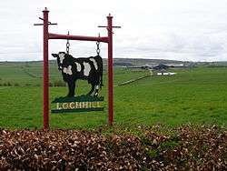 Lochhill Farm above the old loch | |
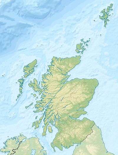
| Location | Stair, East Ayrshire, Scotland |
| Coordinates | Coordinates: 55°28′41.0″N 4°25′13.5″W / 55.478056°N 4.420417°W |
| Type | Drained freshwater loch |
| Primary inflows | Muirston Burn |
| Primary outflows | Glenslang Burn |
| Basin countries | Scotland |
| Max. length | circa 680ft |
| Max. width | circa 350ft |
| Average depth | Shallow |
History
The loch is recorded as the 'Loch of Stair' in 1654[1] and Stair Loch in 1747.[2] A roughly circular water body with a single outflow and no inflow.
Drainage
The loch's drainage may have begun in the 18th century when Alexander Montgomerie, 10th Earl of Eglinton, was pursuing a number of agricultural improvements on his extensive estates and other landowners followed his example. Intensive drainage work may have taken place in the 1740s as part of the improvements undertaken to provide employment for Irish estate workers during the Irish potato famines of the 1740s and the mid 19th centuries. Many drainage schemes also date to the end of World War I when many soldiers returned en masse to civilian life.[3] The first OS maps do not show the loch site as having any open water, however the 1926 OS shows a small loch present.[4]
Usage
The loch's outflow was via the Glenslang Burn that powered the old Bridgend Mill at Stair.
Cartographic evidence
Blaeu's map of 1654, dating from Timothy Pont's survey of circa 1604, clearly shows and names the loch and indicates only an outflow to the River Ayr via the Glenslang Burn.[5] Roy's map of 1747 clearly show a Stair Loch.[6] Armstrong's map of 1775 shows a loch with an inflow and outflow with a dwelling known as Loch Side nearby.[7] Ainslie's map of 1821 shows a 'drop-shaped' loch with Lochside marked.[8] Thomson map of 1832 shows the loch and the dwelling of Loch Hill.[9]
Micro-history

In Scots the term 'Slang' as in 'Glenslang' refers to a strip of land used for grazing animals.[10]
See also
References
- Notes
- ↑ Blaeu's Map Retrieved : 2011-05-12
- ↑ Roy's Map Retrieved : 2011-05-12
- ↑ MacIntosh, Pages 37 & 39
- ↑ 1926 OS Retrieved : 2011-05-12
- ↑ Blaeu's Map Retrieved : 2011-05-12
- ↑ Roy's Map Retrieved : 2011-05-12
- ↑ Armstrong Map Retrieved : 2011-05-12
- ↑ Ainslie's Map Retrieved : 2011-05-12
- ↑ Thomson's Map Retrieved : 2011-05-12
- ↑ Scots Dictionary Retrieved : 2011-05-12
- Sources
- MacIntosh, Donald (2006). Travels in Galloway. Glasgow : Neil Wilson. ISBN 1-897784-92-9.
| Wikimedia Commons has media related to Loch of Stair. |
| Wikimedia Commons has media related to Stair, East Ayrshire. |