Lodwar Airport
| Lodwar Airport | |||||||||||
|---|---|---|---|---|---|---|---|---|---|---|---|
| IATA: LOK – ICAO: HKLO | |||||||||||
| Summary | |||||||||||
| Airport type | Public, Civilian | ||||||||||
| Owner | Kenya Civil Aviation Authority | ||||||||||
| Serves | Lodwar, Kenya | ||||||||||
| Location |
Lodwar, | ||||||||||
| Elevation AMSL | 1,715 ft / 523 m | ||||||||||
| Coordinates | 03°07′20″N 35°36′36″E / 3.12222°N 35.61000°E | ||||||||||
| Map | |||||||||||
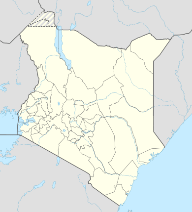 Lodwar Location of Lodwar Airport in Kenya | |||||||||||
| Runways | |||||||||||
| |||||||||||
Lodwar Airport is an airport in Kenya.
Location
Lodwar Airport (IATA: LOK, ICAO: HKLO) is located in Turkana County, in the town of Lodwar, in the northwestern part of the Republic of Kenya. Its location is approximately 515 kilometres (320 mi), by air, northwest of Nairobi International Airport, the country’s largest civilian airport.[1] The geographic coordinates of Lodwar Airport are:3° 7' 20.00"N, 35° 36' 36.00"E (Latitude:3.122223; Longitude:35.610000).
Overview
Lodwar Airport is a civilian airport that serves the town of Lodwar and surrounding communities. Situated at 1,715 feet (523 m) above sea level,[2] the airport has a single asphalt runway which measures 1000 m in length and is 15 m wide.[3]
Airlines and destinations
| Airlines | Destinations |
|---|---|
| Aircraft Leasing Services | Lokichogio, Nairobi-Wilson |
| Fly540 | Nairobi-Jomo Kenyatta Seasonal: Eldoret, Kitale |
| Safarilink | Nairobi-Wilson |
See also
References
External links
- Location of Lodwar Airport At Google Maps
- Website of Kenya Airports Authority
- Airport information for HKLO at Great Circle Mapper.
Coordinates: 3°07′20″N 35°36′36″E / 3.122223°N 35.610000°E