Logan Peak
| Logan Peak | |
|---|---|
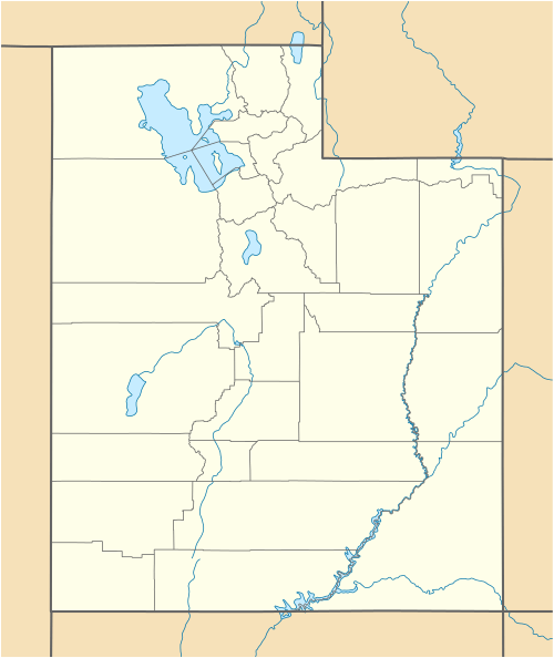 Logan Peak Location in Utah | |
| Highest point | |
| Elevation | 9,714 ft (2,961 m) NAVD 88[1] |
| Prominence | 2,995 ft (913 m) [2] |
| Coordinates | 41°42′49″N 111°43′04″W / 41.713512308°N 111.717674242°WCoordinates: 41°42′49″N 111°43′04″W / 41.713512308°N 111.717674242°W [1] |
| Geography | |
| Location | Cache County, Utah, U.S. |
| Parent range | Bear River Mountains |
| Topo map | USGS Logan Peak |
| Climbing | |
| Easiest route | Hiking trail or rugged jeep trail[3] |
Logan Peak, commonly referred to as Mount Logan, is a peak in the Bear River Mountains, a branch of the Wasatch Range. Located six miles east-southeast of Logan, Utah in the Uinta-Wasatch-Cache National Forest, it is the second highest peak overlooking Cache Valley after Mt. Naomi. Logan Peak rises to an elevation of 9,714 feet (2,961 m) NAVD88. It is served by hiking trails and a narrow, unpaved access road suitable only for offroad vehicles. It is the only mountain in the Bear River Range with a road to the summit. The peak houses a weather station and a telecommunications tower. Logan Peak is a popular destination for hikers and mountain bikers during the warmer months and advanced cross-country skiers in winter. During the winter, a circular hollow on the east side of the peak, known locally as Crystal Valley, is popular with snowmobilers.
References
- 1 2 "Logan 2". NGS data sheet. U.S. National Geodetic Survey. Retrieved 2016-04-20.
- ↑ "Logan Peak, Utah". Peakbagger.com. Retrieved 2016-04-20.
- ↑ "Logan Peak". SummitPost.org. Retrieved 2016-04-18.