Long Sukang Airport
| Long Sukang Airport Lapangan Terbang Long Sukang | |||||||||||
|---|---|---|---|---|---|---|---|---|---|---|---|
| IATA: LSU – ICAO: WBGU | |||||||||||
| Summary | |||||||||||
| Airport type | Public | ||||||||||
| Operator | Malaysia Airports Berhad | ||||||||||
| Serves | Long Sukang, Sarawak, Malaysia | ||||||||||
| Time zone | MST (UTC+08:00) | ||||||||||
| Elevation AMSL | 1,200 ft / 366 m | ||||||||||
| Coordinates | 04°33′08″N 115°29′38″E / 4.55222°N 115.49389°ECoordinates: 04°33′08″N 115°29′38″E / 4.55222°N 115.49389°E | ||||||||||
| Map | |||||||||||
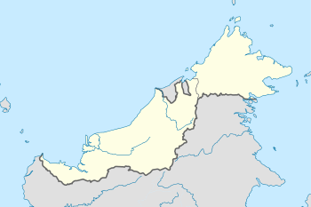 WBGU Location in East Malaysia | |||||||||||
| Runways | |||||||||||
| |||||||||||
|
Sources: Great Circle Mapper[1] | |||||||||||
Long Sukang Airport (IATA: LSU, ICAO: WBGU)[2] is a small airport near Long Sukang, a Lun Bawang settlement in the Lawas division of Sarawak, Malaysia, and is one of four airports in the Lawas division.[3]
Improvements to this rural airfield were carried out in 1974 by the Malaysian Public Works Department (Jabatan Kerja Raya), and were substantially completed by the end of the year; the airfield opened to scheduled Malaysia Airlines (MAS) flights in April 1975.[4] This airfield, together with those at Long Semadoh and Ba'kelalan, helped to accelerate development among the Lun Bawang people.[5]
No accidents have been recorded at this airport.[6] There are currently no scheduled flights using Long Sukang airport.
See also
References
- ↑ "LSU - Long Sukang, Sarawak, MY - Airport". Great Circle Mapper. 2012-12-17. Retrieved 18 December 2012.
- ↑ "Airport Long Sukang Airport". 2010-09-07. Retrieved 18 December 2012.
- ↑ Sofyan Hasdam (A.) (2007). Visi baru Kalimantan Timur, 2025: memikirkan ulang prioritas pembangunan Kaltim saat rejeki migas kian menipis. Satria Media. Retrieved 21 December 2012.
- ↑ Sarawak. Jabatan Kerja Raya (1974). Annual Report. p. 4. Retrieved 21 December 2012.
- ↑ Meechang Tuie; Dewan Bahasa dan Pustaka (1995). Masyarakat Lun Bawang, Sarawak: suatu pengenalan. Dewan Bahasa dan Pustaka, Kementerian Pendidikan, Malaysia. ISBN 978-983-62-4321-8. Retrieved 21 December 2012.
- ↑ Accident history for LSU at Aviation Safety Network
This article is issued from Wikipedia - version of the 12/5/2016. The text is available under the Creative Commons Attribution/Share Alike but additional terms may apply for the media files.