Lough Scur
| Lough Scur Loch an Scoir | |
|---|---|
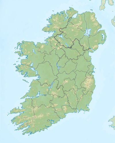 Location in Ireland | |
| Location | County Leitrim |
| Coordinates | 54°1′31″N 7°57′21″W / 54.02528°N 7.95583°WCoordinates: 54°1′31″N 7°57′21″W / 54.02528°N 7.95583°W |
| Primary inflows | Aghacashlaun River, Shannon–Erne Waterway |
| Primary outflows | Shannon–Erne Waterway |
| Catchment area | 62.87 km2 (24.3 sq mi) |
| Basin countries | Ireland |
| Surface area | 1.14 km2 (0.44 sq mi) |
| Max. depth | 5 m (16 ft) |
| Surface elevation | 62 m (203 ft) |
| Islands | 2 |
| References | [1][2][3] |
Lough Scur (Irish: Loch an Scoir)[4] is a freshwater lake in the northwest of Ireland. It is located in south County Leitrim and is now part of the Shannon–Erne Waterway.
Geography
Lough Scur is about 1 kilometre (0.6 mi) northwest of Keshcarrigan.[3] It covers an area of 1.14 square kilometres (0.4 sq mi).[1]
Hydrology
Lough Scur forms part of the Shannon–Erne Waterway, which was restored to its current navigable state in 1994. The lake lies at the summit of the canal.
Natural history
Fish present in Lough Scur include roach, bream, perch, pike and tench.[5] Large pike have been caught here weighing 10 kg (22 lb) or more.[3]
History
A Lough Scur island was the site of a castle sometimes known as Castle John, named for its founder John Reynolds. The castle was built around 1570 and was later used as a prison.[6]
See also
References
- 1 2 "A Reference Based Typology and Ecological Assessment System for Irish Lakes" (PDF). Environmental Protection Agency (Ireland). 2006. p. 13. Retrieved 5 Aug 2015.
- ↑ Joyce, Patrick Weston. The Geography of the Counties of Ireland. p. 127. Retrieved 5 Aug 2015.
- 1 2 3 "Lough Scur". Inland Fisheries Ireland. Retrieved 5 Aug 2015.
- ↑ "Loch an Scoir/Lough Scur". Placenames Database of Ireland. Government of Ireland - Department of Arts, Heritage and the Gaeltacht and Dublin City University. Retrieved 5 Aug 2015.
- ↑ "Lough Scur" (PDF). Waterways Ireland. Retrieved 5 Aug 2015.
- ↑ Journal of the Royal Society of Antiquaries of Ireland. p. 144–145. Retrieved 5 Aug 2015.