Louise Island
For the island in Antarctica, see Louise Island, Antarctica.
 | |
| Geography | |
|---|---|
| Coordinates | 52°57′18″N 131°46′26″W / 52.95500°N 131.77389°WCoordinates: 52°57′18″N 131°46′26″W / 52.95500°N 131.77389°W |
| Archipelago | Queen Charlotte Islands |
| Area | 272 km2 (105 sq mi) |
| Administration | |
| Demographics | |
| Ethnic groups | Haida |
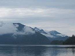
Louise Island is a 272-square-kilometre (105 sq mi) island in Haida Gwaii, in British Columbia, Canada, off the east coast of Moresby Island.[1] It was named for Princess Louise, Duchess of Argyll, fourth daughter of Queen Victoria. Louise Islands is located east of Moresby Island and Carmichael Passage, and south of Cumshewa Inlet.
The island is home to the ancient Haida village of Skedans. Beatty Anchorage, a logging camp, is also on the island.
Two officially-named mountains on the island are Mount Kermode and Mount Carl.
See also
References
External links
- Louise Island at britishcolumbia.com
This article is issued from Wikipedia - version of the 2/27/2016. The text is available under the Creative Commons Attribution/Share Alike but additional terms may apply for the media files.