Ludanice
| Ludanice | |
| Municipality | |
| Country | Slovakia |
|---|---|
| Region | Nitra |
| District | Topoľčany |
| Elevation | 160 m (525 ft) |
| Coordinates | SK 48°29′50″N 18°07′07″E / 48.49722°N 18.11861°ECoordinates: SK 48°29′50″N 18°07′07″E / 48.49722°N 18.11861°E |
| Area | 11.2 km2 (4.32 sq mi) |
| Population | 1,839 (2011) |
| Density | 164/km2 (425/sq mi) |
| Postal code | 956 11 |
| Area code | +421-38 |
| Car plate | TO |
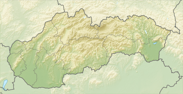 Location of Ludanice in Slovakia | |
| Wikimedia Commons: Ludanice | |
| Statistics: | |
| Website: www.ludanice.sk | |
Ludanice is a municipality in the Topoľčany District of the Nitra Region, Slovakia.[1] In 2011 it had 1839 inhabitants.[2] The most important sightseeing is a church from 1701. The village is quite developed as most of the villages in Topoľčany district.
References
External links
This article is issued from Wikipedia - version of the 2/26/2013. The text is available under the Creative Commons Attribution/Share Alike but additional terms may apply for the media files.