Lungalacha La
| Lachulung La | |
|---|---|
  | |
| Elevation | 5,059 m (16,598 ft) |
| Traversed by | Leh–Manali Highway |
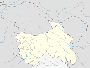
| Location | India |
| Coordinates | 33°06′N 77°38′E / 33.100°N 77.633°ECoordinates: 33°06′N 77°38′E / 33.100°N 77.633°E |
Lachulung La pass
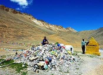
Lachulung La (el. 5,059 m or 16,600 ft), or Lāchālūng La or Lungalacha La, is a mountain pass along the Leh–Manali Highway. It is located some 54 km (34 mi) from Sarchu and 24 km (15 mi) from Pang on the Leh–Manali Highway.[1]
This is one of the easier 16,000 ft (4,880 m) passes and it can be traversed cross-country by moving along the nala on both sides. However, due to elevation, the hikers face breathlessness during climb and those who have not undergone acclimatisation may face severe symptoms of altitude sickness.
Footnotes
- ↑ GeoNames. "Lāchālūng La". Retrieved 2009-06-22.
This article is issued from Wikipedia - version of the 9/8/2016. The text is available under the Creative Commons Attribution/Share Alike but additional terms may apply for the media files.