Mørkdalstuva
| Mørkdalstuva | |
|---|---|
| Mørkdalstua | |
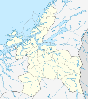 Mørkdalstuva Location in Sør-Trøndelag | |
| Highest point | |
| Elevation | 345 m (1,132 ft) |
| Prominence | 345 m (1,132 ft) |
| Isolation | 15.11 kilometres (9.39 mi) |
| Coordinates | 63°29′38″N 08°30′50″E / 63.49389°N 8.51389°ECoordinates: 63°29′38″N 08°30′50″E / 63.49389°N 8.51389°E |
| Geography | |
| Location | Hitra, Sør-Trøndelag, Norway |
| Topo map | 1421 IV Skardsøya |
Mørkdalstuva or Mørkdalstua is the tallest mountain on the island of Hitra in the municipality of Hitra in Sør-Trøndelag county, Norway. The 345-metre (1,132 ft) tall mountain lies on the western side of the island, about 8 kilometres (5.0 mi) northeast of Forsnes and 7.5 kilometres (4.7 mi) southeast of Kvenvær.[1]
Name
The mountain is named after the Mørkdalen valley. The last element is the finite form of tuve or tue which means "tussock". The valley name Mørkdalen is a compound of mørk which means "dark" and the finite form of dal which means "dale" or "valley".
References
- ↑ "Mørkdalstua" (in Norwegian). yr.no. Retrieved 2010-12-28.
This article is issued from Wikipedia - version of the 5/29/2015. The text is available under the Creative Commons Attribution/Share Alike but additional terms may apply for the media files.