María Dolores Airport
| María Dolores Airfield Aeródromo María Dolores | |||||||||||
|---|---|---|---|---|---|---|---|---|---|---|---|
| IATA: LSQ – ICAO: SCGE | |||||||||||
| Summary | |||||||||||
| Airport type | Public | ||||||||||
| Serves | Los Ángeles | ||||||||||
| Location |
| ||||||||||
| Elevation AMSL | 374 ft / 114 m | ||||||||||
| Coordinates | 37°24′6.8″S 072°25′31.9″W / 37.401889°S 72.425528°WCoordinates: 37°24′6.8″S 072°25′31.9″W / 37.401889°S 72.425528°W | ||||||||||
| Map | |||||||||||
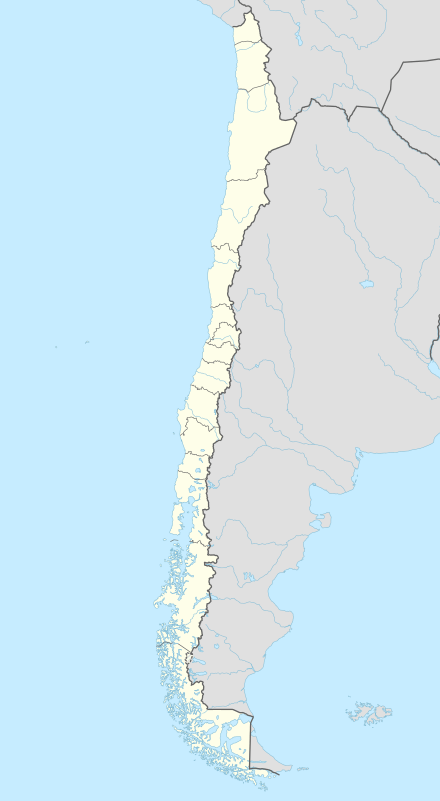 SCGE Location of María Dolores Airfield in Chile | |||||||||||
| Runways | |||||||||||
| |||||||||||
María Dolores Airfield (Spanish: Aeródromo María Dolores) (IATA: LSQ, ICAO: SCGE) is a public use airport located near Los Ángeles, Bío Bío, Chile.
See also
References
- ↑ Airport record for María Dolores Airfield at Landings.com. Retrieved 2013-09-10
- ↑ Google (2013-09-10). "location of María Dolores Airfield" (Map). Google Maps. Google. Retrieved 2013-09-10.
External links
- Airport record for María Dolores Airfield at Landings.com
- Current weather for SCGE at NOAA/NWS
This article is issued from Wikipedia - version of the 11/21/2016. The text is available under the Creative Commons Attribution/Share Alike but additional terms may apply for the media files.