Marlin Airport
| Marlin Airport | |||||||||||
|---|---|---|---|---|---|---|---|---|---|---|---|
|
IATA: none – ICAO: none – FAA LID: T15 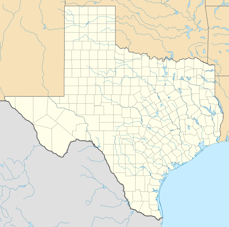 Marlin Airport | |||||||||||
| Summary | |||||||||||
| Airport type | Public | ||||||||||
| Owner | City of Marlin | ||||||||||
| Serves | Marlin and Falls County | ||||||||||
| Location | Marlin, Texas | ||||||||||
| Elevation AMSL | 411 ft / 125 m | ||||||||||
| Coordinates | 31°20′26″N 096°51′07″W / 31.34056°N 96.85194°WCoordinates: 31°20′26″N 096°51′07″W / 31.34056°N 96.85194°W | ||||||||||
| Runways | |||||||||||
| |||||||||||
| Statistics | |||||||||||
| |||||||||||
The Marlin Airport is a public municipal airport located and owned by the city of Marlin, Texas. The facility includes one runway that extends to over 3,000 feet long[1] that is asphalt. The airport opened in 1960 and is about three miles northeast of Marlin,[2] right next to Lake Marlin.
References
This article is issued from Wikipedia - version of the 9/4/2016. The text is available under the Creative Commons Attribution/Share Alike but additional terms may apply for the media files.