Marsh Creek (Portneuf River)
| Marsh Creek | |
| Country | United States |
|---|---|
| State | Idaho |
| County | Bannock County, Idaho |
| Source | |
| - location | near Red Rock Pass, Bannock County, Idaho |
| - elevation | 5,157 ft (1,572 m) [1] |
| - coordinates | 42°24′12″N 112°01′37″W / 42.40333°N 112.02694°W [2] |
| Mouth | Portneuf River |
| - location | near Inkom, Bannock County, Idaho |
| - elevation | 4,518 ft (1,377 m) [2] |
| - coordinates | 42°47′40″N 112°15′28″W / 42.79444°N 112.25778°WCoordinates: 42°47′40″N 112°15′28″W / 42.79444°N 112.25778°W [2] |
| Length | 56 mi (90 km) [3] |
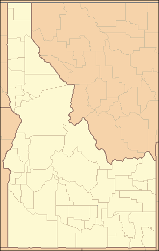 Location of the mouth of Marsh Creek in Idaho | |
Marsh Creek is a 56-mile (90 km) long[3] tributary of the Portneuf River in Bannock County, Idaho. Beginning at an elevation of 5,157 feet (1,572 m)[1] near Red Rock Pass, it flows generally north near the communities of Downey and Arimo. It parallels the Portneuf River starting near McCammon, reaching its mouth near Inkom,[4] at an elevation of 4,518 feet (1,377 m).[2] It is roughly paralleled by Interstate 15 for most of its length.[4]
See also
References
- 1 2 Source elevation derived from Google Earth search using GNIS source coordinates.
- 1 2 3 4 "Marsh Creek". Geographic Names Information System. United States Geological Survey. June 21, 1979. Retrieved July 16, 2013.
- 1 2 "National Hydrography Dataset". United States Geological Survey. Retrieved July 16, 2013.
- 1 2 Idaho Road and Recreation Atlas (Map) (2nd ed.). 1:250,000. Benchmark Maps. 2010. pp. 77, 87. ISBN 978-0-929591-06-3. OCLC 567571371.
This article is issued from Wikipedia - version of the 9/11/2016. The text is available under the Creative Commons Attribution/Share Alike but additional terms may apply for the media files.