Mathathane
| Mathathane | |
|---|---|
| Village | |
 Mathathane | |
| Coordinates: BW 22°16′05″S 28°45′00″E / 22.268°S 28.750°ECoordinates: BW 22°16′05″S 28°45′00″E / 22.268°S 28.750°E | |
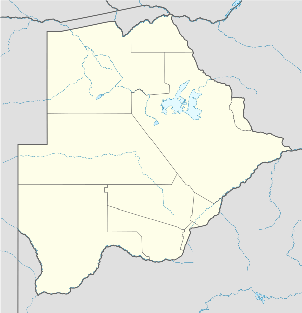
| Country | Botswana |
| District | Central District |
| Sub-District | Bobirwa |
| Time zone | Central Africa Time (UTC+2) |
| • Summer (DST) | not observed (UTC+2) |
Mathathane is a village in Central District of Botswana. It is located in the eastern tip of Botswana, close to the border with South Africa. The population was 1,845 in 2001 census.[1]
References
- ↑ "Distribution of population by sex by villages and their associated localities: 2001 population and housing census". Archived from the original on 2007-11-24. Retrieved 2008-01-08.
This article is issued from Wikipedia - version of the 11/7/2013. The text is available under the Creative Commons Attribution/Share Alike but additional terms may apply for the media files.