Mayu
For other uses, see Mayu (disambiguation).
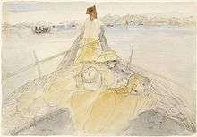
Battle of Arakan, 1943; a sampan convoy on the Mayu River
The Mayu is a river in Rakhine State, Myanmar (Burma). The river and its surrounding region, known as the Mayu region or Mayu peninsula, is named after the nearby Mayu Mountain. It was formerly known as the Manlayuwaddy River. It is the third most used river in Rakhine State, and is 96 miles (154 kilometers) long and drains into the Bay of Bengal, near Sittwe. It passes through Buthidaung, Rathedaung and Sittwe Township.[1]
References
- ↑ "Mayu River -". Arakanrivers.net. Retrieved 21 November 2014.
This article is issued from Wikipedia - version of the 11/24/2016. The text is available under the Creative Commons Attribution/Share Alike but additional terms may apply for the media files.