Mera, Pastaza
| Mera | |||
|---|---|---|---|
| City | |||
| Mera | |||
| |||
| Nickname(s): Atalaya del Oreinte(Orient Watchtower) | |||
 Mera | |||
| Coordinates: 01°22′15″S 78°1′10″W / 1.37083°S 78.01944°WCoordinates: 01°22′15″S 78°1′10″W / 1.37083°S 78.01944°W | |||
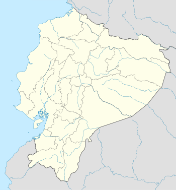
| Country | Ecuador | ||
| Province | Pastaza Province | ||
| Canton | Mera Canton | ||
| Named for | Juan León Mera | ||
| Government | |||
| • Type | Mayor and council | ||
| • Governing body | Municipality of Mera | ||
| • Mayor | Lic. Gustavo Silva | ||
| Elevation | 950 m (3,120 ft) | ||
| Population (2001) | |||
| • Total | 8,800 | ||
| (approximate population) | |||
| Demonym(s) | Mereño(a) | ||
| Time zone | ECT (UTC-5) | ||
| Area code(s) | (0)4 | ||
| Climate | Af | ||
Mera is a town in the eastern foothills of the Ecuadorian Andes. It is also the name of the Canton in Pastaza Province of which it is a part.
It lends its name to Shell Mera, a larger town 4 miles to the east.
This article is issued from Wikipedia - version of the 6/6/2016. The text is available under the Creative Commons Attribution/Share Alike but additional terms may apply for the media files.