Mishawaka Pilots Club Airport
| Mishawaka Pilots Club Airport | |||||||||||||||
|---|---|---|---|---|---|---|---|---|---|---|---|---|---|---|---|
| IATA: none – ICAO: none – FAA LID: 3C1 | |||||||||||||||
| Summary | |||||||||||||||
| Airport type | Public | ||||||||||||||
| Owner | Airport Reality Board | ||||||||||||||
| Serves | Elkhart, Indiana | ||||||||||||||
| Location | Osceola, Indiana | ||||||||||||||
| Elevation AMSL | 755 ft / 230 m | ||||||||||||||
| Coordinates | 41°39′25″N 086°02′05″W / 41.65694°N 86.03472°WCoordinates: 41°39′25″N 086°02′05″W / 41.65694°N 86.03472°W | ||||||||||||||
| Website | Mishawakapilotsclub.com | ||||||||||||||
| Map | |||||||||||||||
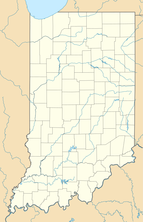
 3C1 Location of airport in Indiana | |||||||||||||||
| Runways | |||||||||||||||
| |||||||||||||||
Mishawaka Pilots Club Airport (FAA LID: 3C1) is in Osceola, Indiana, three miles southwest of Elkhart.
Open in August 1948, the airport serves small general aviation aircraft.
Besides the main runway - (21/03), there is a grass runway (12/30).
External links
http://airnav.com/airport/3C1 http://flymaa.org/index.html http://mishawakapilotsclub.com
This article is issued from Wikipedia - version of the 12/5/2016. The text is available under the Creative Commons Attribution/Share Alike but additional terms may apply for the media files.