Mogote de Bagaces
| Mogote | |
|---|---|
|
District | |
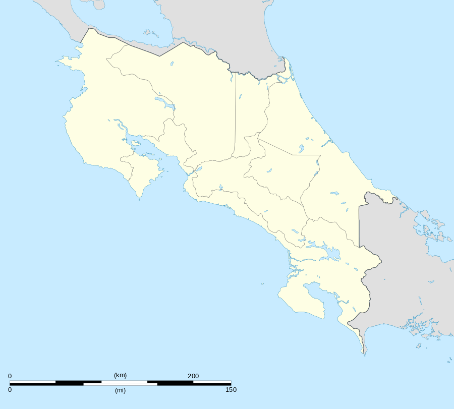 Mogote Location in Costa Rica | |
| Coordinates: 10°42′38″N 85°13′36″W / 10.71056°N 85.22667°W | |
| Country | Costa Rica |
| Province | Guanacaste |
| Canton | Bagaces |
| Area | |
| • Total | 184.54 km2 (71.25 sq mi) |
| Elevation | 550 m (1,800 ft) |
| Population (2013) | |
| • Total | 3,777 |
| • Density | 20/km2 (53/sq mi) |
| Postal code | 50403 |
Mogote de Bagaces, also known as Guayabo de Bagaces, is a district in Costa Rica,[1] located 23 km north of Bagaces, at the foot of the Miravalles Volcano. The economic activity of Guayabo is based on agriculture (kidney beans, onions, and sugarcane), and on livestock and dairy industry.
Thanks to the energy-producing potential of the Miravalles, the Instituto Costarricense de Electricidad (ICE) started a geothermal project in the region, which brought employment opportunities. Something new in this area is the Eolic Power; more than 25 wind turbines were installed.
Nowadays, the area's commerce and tourism industries have developed rapidly, taking advantage of the potential offered by the use of thermal waters, horseback riding, and canopy tours.
The district has a population of about 3,800 people.[2]
Villages
The town of Guayabo is the administrative center of the district.
Other villages include Barro de Olla, Horcones, La Ese, Limonal, Manglar, Mochadero, Pueblo Nuevo, Rincón de La Cruz, San Isidro de Limonal, San Jorge, San Pedro and Torno.[1]
References
- 1 2 "Mogote". Retrieved 2015-03-21.
- ↑ Estadísticas Vitales 2013 - INEC
Coordinates: 10°43′N 85°14′W / 10.717°N 85.233°W