Mont Gerbier de Jonc
| Gerbier de Jonc | |
|---|---|
.JPG) | |
| Highest point | |
| Elevation | 1,551 m (5,089 ft) |
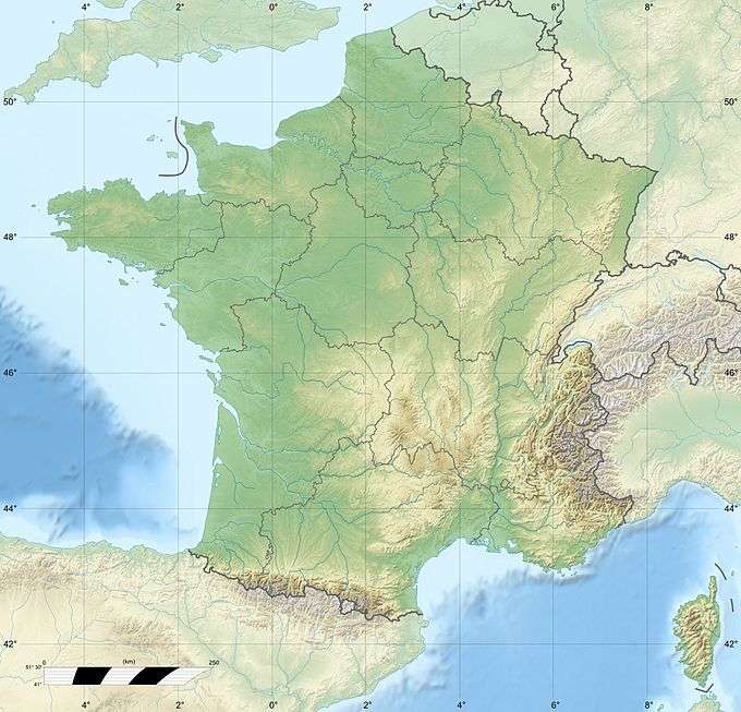
| Coordinates | 44°50′40″N 4°13′12″E / 44.84444°N 4.22000°ECoordinates: 44°50′40″N 4°13′12″E / 44.84444°N 4.22000°E |
| Geography | |
| Parent range | Massif Central |
| Geology | |
| Mountain type |
Lava dome Phonolite |
Mont Gerbier de Jonc is a mountain of volcanic (phonolitic) origin located in the Massif Central in France. It rises to an altitude of 1,551 m (5,089 ft), and its base contains three springs that are the source of the Loire, France's longest river. It is the second most-visited site in the département of Ardèche, after the Ardèche Gorges.
This particular Lava dome resembles the back of a mythical tarasque. When it was active, it would have smelled of rotten eggs due to Hydrogen sulfide gas emanating from vents and fissures surrounding it.
This article is issued from Wikipedia - version of the 1/23/2016. The text is available under the Creative Commons Attribution/Share Alike but additional terms may apply for the media files.