Mont Malamot
| Mont Malamot | |
|---|---|
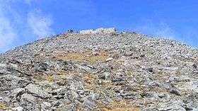 Mont Malamot from south-east. | |
| Highest point | |
| Elevation | 2,917 m (9,570 ft) |
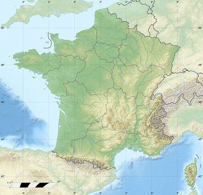
| Coordinates | 45°12′05″N 6°54′31″E / 45.20139°N 6.90861°ECoordinates: 45°12′05″N 6°54′31″E / 45.20139°N 6.90861°E |
| Geography | |
| Parent range | Cottian Alps |
Mont Malamot (Italian: Monte Malamot; also called Pointe Droset in French) is a mountain in the northern Cottian Alps, near the Mont Cenis pass. It has an elevation of 2,917 metres (9,570 ft).
Nowadays entirely included in French territory, it separates the valleys of Dora Riparia and Arc. At the top is a large fortification built by the Italian Regio Esercito in 1889, on two floors, which could house some 200 troops. The area was further fortified in 1932-1940 during the construction of the Alpine Wall.
Sources
- Aruga, R.; Losana, P; A. Re (1985). Alpi Cozie Settentrionali. San Donato Milanese: CAI-TCI.
This article is issued from Wikipedia - version of the 8/4/2016. The text is available under the Creative Commons Attribution/Share Alike but additional terms may apply for the media files.