Mount Bentley
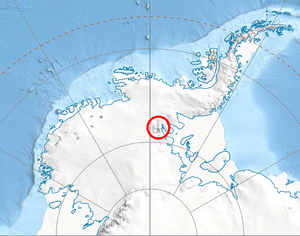
Location of Sentinel Range in Western Antarctica.
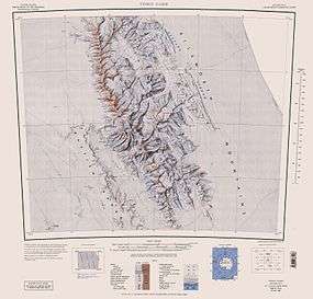
Sentinel Range map.
Mount Bentley (78°07′S 86°14′W / 78.117°S 86.233°WCoordinates: 78°07′S 86°14′W / 78.117°S 86.233°W) is a mountain (4,245 m) standing 2 nautical miles (3.7 km; 2.3 mi) north of Mount Anderson in the main western ridge of the Sentinel Range, Antarctica. It was discovered by the Marie Byrd Land Traverse party, 1957–58, and named for Dr. Charles R. Bentley, leader of the traverse party and chief traverse seismologist at Byrd Station, 1957-59.[1]
Maps
- Vinson Massif. Scale 1:250 000 topographic map. Reston, Virginia: US Geological Survey, 1988.
- Antarctic Digital Database (ADD). Scale 1:250000 topographic map of Antarctica. Scientific Committee on Antarctic Research (SCAR), 1993–2016.
References
- ↑ "Mount Bentley". Geographic Names Information System. United States Geological Survey. Retrieved 2010-11-11.
![]() This article incorporates public domain material from the United States Geological Survey document "Mount Bentley" (content from the Geographic Names Information System).
This article incorporates public domain material from the United States Geological Survey document "Mount Bentley" (content from the Geographic Names Information System).
This article is issued from Wikipedia - version of the 1/29/2016. The text is available under the Creative Commons Attribution/Share Alike but additional terms may apply for the media files.