Mount Cimet
| Mount Cimet | |
|---|---|
 View of Mount Cimet (center left of the picture) from the top of Mont Pelat. | |
| Highest point | |
| Elevation | 3,020 m (9,910 ft) |
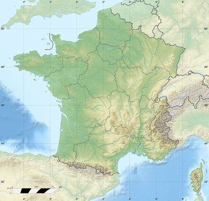
| Coordinates | 44°17′26″N 6°42′15″E / 44.29056°N 6.70417°ECoordinates: 44°17′26″N 6°42′15″E / 44.29056°N 6.70417°E |
| Geography | |
 Mount Cimet | |
| Parent range | Maritime Alps |
Mount Cimet or Cemet is a mountain in the Pelat Massif of the French Alps in Alpes-de-Haute-Provence.
On the night of 1 September 1953, an Air France Lockheed L-749 Constellation, registered in France as F-BAZZ, also known as Air France Flight 178, which was flying from Paris-Orly Airport to Nice Airport, crashed into the top of the mountain, with the loss of 42 lives.[1]
On 24 March 2015, Germanwings Flight 9525 crashed close to Mount Cimet.[2][3]
References
- ↑ Accident description for Air France Constellation F-BAZZ at the Aviation Safety Network. Retrieved on 2015-04-04.
- ↑ "Analysis: Crash of Germanwings Flight 9525 - Investigation and Latest Responses". Friedlnews. 25 Mar 2015. Retrieved 2015-04-04.
- ↑ Gover, Dominic (24 March 2015). "Germanwings Flight 4U9525 crashed in identical spot as 1953 air disaster in French Alps near Barcelonette". International Business Times. Retrieved 2015-04-04.
This article is issued from Wikipedia - version of the 9/24/2016. The text is available under the Creative Commons Attribution/Share Alike but additional terms may apply for the media files.