Mount Hopkins (New Zealand)
| Mount Hopkins | |
|---|---|
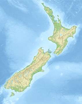 Mount Hopkins Location in the South Island, New Zealand | |
| Highest point | |
| Elevation | 2,678 m (8,786 ft) [1] |
| Prominence | 507 m (1,663 ft) [1] |
| Listing | New Zealand #25 |
| Coordinates | 43°47′27″S 169°57′48″E / 43.79083°S 169.96333°ECoordinates: 43°47′27″S 169°57′48″E / 43.79083°S 169.96333°E [1] |
| Geography | |
| Location | South Island, New Zealand |
| Parent range | Southern Alps |
| Climbing | |
| First ascent | Samuel Turner, Peter Graham and Frank Milne, March 1914 [2] |
| Easiest route | From Faith Col over the East Ridge [2] |
Mount Hopkins is located in the Southern Alps of New Zealand's South Island. It lies 25 kilometres (16 mi) to the southwest of Aoraki / Mount Cook, and rises to 2,678 metres (8,786 ft). Several rivers have their sources on or close to the slopes of Mount Hopkins, notably the Landsborough River to the west, the Dobson River to the east, and Hopkins River to the south. At Mount Hopkins, the traditional boundaries of the former Otago, Westland, and Canterbury Provinces meet, these boundaries survive today as provincial districts, and only serve for the purposes of determining anniversary days. However, the modern day boundaries of the Otago region, the West Coast region and the Canterbury region meet further south at Mt Strauchon, which is also on the Main Divide.
References
- 1 2 3 Linz Topo50 map
- 1 2 Mount Hopkins at ClimbNZ.org