Mount Pinchot (Oklahoma)
| Mount Pinchot | |
|---|---|
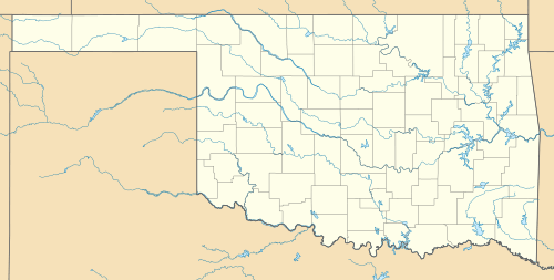 Mount Pinchot Mount Pinchot's location in Oklahoma. | |
| Highest point | |
| Elevation | 2,476 ft (755 m) [1] |
| Coordinates | 34°47′58″N 98°46′21″W / 34.79944°N 98.77250°WCoordinates: 34°47′58″N 98°46′21″W / 34.79944°N 98.77250°W |
| Geography | |
| Location | Comanche County, Oklahoma, U.S. |
| Parent range | Wichita Mountains |
| Topo map | USGS[2] |
| Geology | |
| Age of rock | Cambrian Period[3] |
| Mountain type | Igneous[3] |
Mount Pinchot is the highest peak in the Wichita Mountains Wildlife Refuge of Southwest Oklahoma at 2,476 feet (755 m) above sea level.[4][5] It is located toward the western edge of the WMWR. The US Fish and Wildlife Service is responsible for the maintenance of the area. Mount Pinchot is located within the Wildlife Refuge's Special Use Area and is closed to the public. Special wildlife viewing tours are offered by the Refuge which take participants very near the base of the mountain.
The highest peak in the Wichita Mountains (including areas outside the Refuge) is Haley Peak, at 2,481 ft (756 m).[6] Haley Peak (officially unnamed) is located on private property just outside the NW corner of the Refuge. [Haley Peak Elevation information from records stored at USGS/NSDI Standards Team/NGTOC III/Mid-Continent Mapping Center/Rolla MO.]
Mount Pinchot was named in honor of Gifford Pinchot who served as the first Chief of the United States Forest Service.
References
- ↑ "Mount Pinchot, Oklahoma". Peakbagger.com. Retrieved 2012-10-23.
- ↑ "Cooperton, OK 34098G7". US Geological Survey. Retrieved 2012-10-21.
- 1 2 "America's Volcanic Past: Oklahoma". US Geological Survey. Retrieved 2008-05-26.
- ↑ U.S. Geological Survey Geographic Names Information System: Mount Pinchot
- ↑ "Wichita Mountains Wildlife Refuge". U.S. Fish and Wildlife Service. Retrieved 2008-05-26.
- ↑ "Mount Haley, Oklahoma". Peakbagger.com. Retrieved 2012-10-23.