Mpungu
This article is about the settlement in Namibia. For the spirits of Palo, see Nkisi.
| Mpungu | |
|---|---|
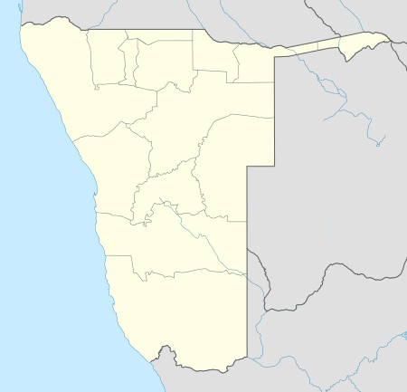
 Mpungu Location in Namibia | |
| Coordinates: 17°40′1.20″S 18°13′58.80″E / 17.6670000°S 18.2330000°ECoordinates: 17°40′1.20″S 18°13′58.80″E / 17.6670000°S 18.2330000°E | |
| Country |
|
| Region | Kavango West |
| Constituency | Mpungu Constituency |
| Time zone | West Africa Time (UTC+1) |
| Climate | BSh |
Mpungu is a settlement and a former mission station of the Finnish Missionary Society in the Mpungu Constituency in the Kavango West Region in Northern Namibia. It is located ca. 40 km south-west of Nkurenkuru, in the inland, as opposed to other former Finnish mission stations, which were located along the Kavango River. Today a tarred highway from Ovamboland to Kavango connects Mpungu to other places in northern Namibia.
History of Mpungu
The mission station was founded in 1951 by Hellin Elomaa, a nurse, who also founded a small clinic there.[1]
In Mpungu, the Finnish missionaries were also in touch with the local Bushman population.[1]
Mpungu today
Today there is still a health centre in Mpungu, as well as the Himarwa Iithete Senior Secondary School.
References
- 1 2 Peltola, Matti (1958). Sata vuotta suomalaista lähetystyötä 1859–1959. II: Suomen Lähetysseuran Afrikan työn historia. [A hundred years of Finnish missionary work 1859–1959. II: The history of the Finnish Missionary Society in Africa]. Helsinki: Suomen Lähetysseura (The Finnish Missionary Society). p. 240.
This article is issued from Wikipedia - version of the 11/28/2016. The text is available under the Creative Commons Attribution/Share Alike but additional terms may apply for the media files.