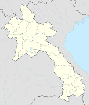
Muang Kham, Laos
| Muang Kham | |
|---|---|
| Town | |
 Muang Kham | |
| Coordinates: 19°37′52″N 103°33′39″E / 19.63111°N 103.56083°E | |
| Country |
|
| Province | Xiangkhouang |
| Time zone | Laos Standard Time (UTC+7) |
| Climate | Cwa |
Muang Kham is a small town in Xiangkhouang Province in northeastern Laos. It is located along Route 7, 55.7 kilometres (34.6 mi) east of Phonsavan, on the way to Nong Haet. The road between Muang Kham and Nong Haet is noted for its Thai Dam funery shrines with white tombs, prayer flags and offerings.[1]
Healthcare
The Kham District Hospital is located in Muang Kham.[2]
References
- ↑ Burke, Andrew; Vaisutis, Justine (1 August 2007). Laos. Lonely Planet. p. 171. ISBN 978-1-74104-568-0. Retrieved 21 July 2012.
- ↑ http://www.khamdistricthospital.la
This article is issued from Wikipedia - version of the 10/31/2016. The text is available under the Creative Commons Attribution/Share Alike but additional terms may apply for the media files.