Nura, Kyrgyzstan
For other uses, see Nura.
| Nura | |
|---|---|
 Nura | |
| Coordinates: 39°37′48″N 73°51′36″E / 39.63000°N 73.86000°ECoordinates: 39°37′48″N 73°51′36″E / 39.63000°N 73.86000°E | |
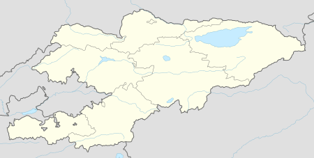
| Country | Kyrgyzstan |
| Region | Osh Region |
| Elevation | 3,362 m (11,030 ft) |
| Time zone | UTC +5 |
Nura was a village in Alay District, Osh Region of Kyrgyzstan, at the point where the A371 road from China turns northwest to go over the pass into the Alay Valley. It is at the mouth of a valley that goes south into some glaciated mountains on the Chinese border.
The town and border crossing of Irkeshtam is 4 miles (7 km) to the northeast, and Ikazak is 8 miles (13 km) to the north.
An earthquake on October 6, 2008 hit the village, resulting in at least 75 deaths and leveling about 100 buildings. Along with Nura, which was destroyed in the quake,[1] Kura, located near the epicenter, was also leveled.[2]
References
- ↑ "Deadly earthquake hits Kyrgyzstan". BBC News. October 6, 2008. Retrieved 2008-10-10.
- ↑ Saralayeva, Leila (2008-10-06). "Earthquake kills at least 72 in Kyrgyzstan". AP. Archived from the original on October 9, 2008. Retrieved 2008-10-06.
External links
This article is issued from Wikipedia - version of the 9/10/2016. The text is available under the Creative Commons Attribution/Share Alike but additional terms may apply for the media files.