Nyegyi Kansang
| Nyegyi Kansang | |
|---|---|
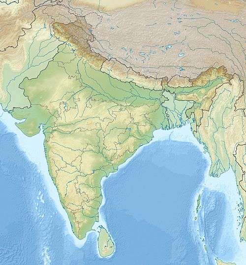 Nyegyi Kansang Arunachal Pradesh, India | |
| Highest point | |
| Elevation | 7,047 m (23,120 ft) [1] |
| Prominence | 1,752 m (5,748 ft) [2] |
| Listing | Ultra |
| Coordinates | 27°56′12″N 92°40′00″E / 27.93667°N 92.66667°ECoordinates: 27°56′12″N 92°40′00″E / 27.93667°N 92.66667°E [2] |
| Geography | |
| Location | Arunachal Pradesh, India |
| Parent range | Eastern Himalayas |
Nyegyi Kansang is a mountain in the Eastern Himalayas. It is located on the border of Tibet, China and the Arunachal Pradesh state of India. This area of Arunachal is also claimed by China as part of southern Tibet. Nyegyi Kansang has an elevation of 7,047 metres (23,120 ft).
See also
References
- ↑ "Nyegyi Kansang". Peakbagger.com. Retrieved 2011-09-17.
- 1 2 "High Asia II: Himalaya of Nepal, Bhutan, Sikkim and adjoining region of Tibet". Peaklist.org. Retrieved 2014-06-01.
This article is issued from Wikipedia - version of the 8/3/2015. The text is available under the Creative Commons Attribution/Share Alike but additional terms may apply for the media files.