Obley
Coordinates: 52°23′38″N 2°59′10″W / 52.394°N 2.986°W
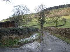
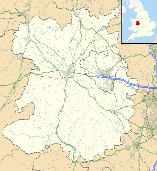
Obley is a small dispersed village in Shropshire, England. It is located a mile northeast of the village of Chapel Lawn and two miles west of Hopton Castle.
The nearest towns are Clun within England and Knighton, Powys (in Wales) with the population at the 2011 census being listed under Clunbury. The village lies at 269m above sea level.
The village lies in very rural, hilly countryside. Black Hill (441m) lies to the north.
| Wikimedia Commons has media related to Obley. |
This article is issued from Wikipedia - version of the 3/10/2016. The text is available under the Creative Commons Attribution/Share Alike but additional terms may apply for the media files.