Onslow Bay
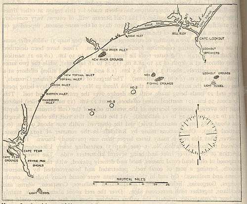
Map of Onslow Bay.
Onslow Bay is an indentation of the North Carolina coast, between Cape Fear in the south and Cape Lookout in the north. Thirteen barrier islands form the shore of the bay. It is part of the open Atlantic Ocean and affords no protection from oceanic swells.
External links
Coordinates: 34°35′54″N 77°12′01″W / 34.5984286°N 77.2002745°W
This article is issued from Wikipedia - version of the 9/5/2015. The text is available under the Creative Commons Attribution/Share Alike but additional terms may apply for the media files.