Ostredok
| Ostredok | |
|---|---|
_-_NE_slope.jpg) | |
| Highest point | |
| Elevation | 1,592 m (5,223 ft) |
| Coordinates | 48°54′6.2″N 19°04′44″E / 48.901722°N 19.07889°ECoordinates: 48°54′6.2″N 19°04′44″E / 48.901722°N 19.07889°E |
| Geography | |
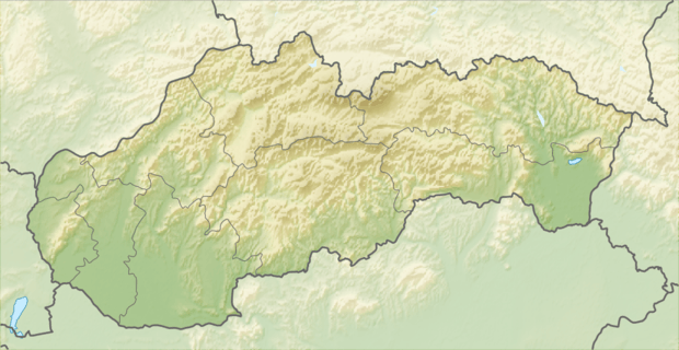 Ostredok Location in Slovakia | |
| Location | Martin and Ružomberok Districts, Žilina, Slovakia |
| Parent range | Greater Fatra |
Ostredok is the highest mountain of the Greater Fatra Range, Slovakia, measuring 1,592 m (5,223 ft). It lies in the Hôlna Fatra part of the range which is typical by its deforested and rather flat gentle summits not rising much above the main ridge. Its south-western is rather steep with big danger of snow avalanches in winter. There are excellent views at most of the Slovak mountains.
References
- Brandos, Otakar (2004). Veľká Fatra, Šípska Fatra. Ostrava: SKY. ISBN 80-86774-02-3.
- VKÚ Harmanec (2003). Veľká Fatra. Edícia turistických máp 1:50000. Harmanec: VKÚ. ISBN 80-8042-044-0.
This article is issued from Wikipedia - version of the 5/3/2015. The text is available under the Creative Commons Attribution/Share Alike but additional terms may apply for the media files.