Outapi
| Outapi | ||
|---|---|---|
|
Main street in Outapi | ||
| ||
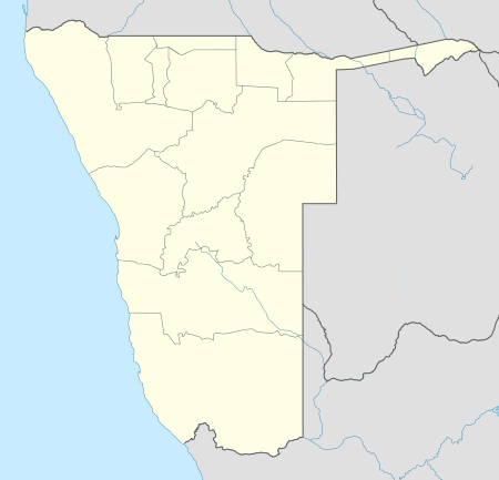 Outapi Location in Namibia | ||
| Coordinates: 17°31′S 15°0′E / 17.517°S 15.000°ECoordinates: 17°31′S 15°0′E / 17.517°S 15.000°E | ||
| Country |
| |
| Region | Omusati Region | |
| Population (2011)[1] | ||
| • Total | 6,437 | |
| Time zone | West Africa Time (UTC+1) | |
| Climate | BSh | |


Outapi, also known as Uutapi and Ombalantu, is a town in northern Namibia near the border with Angola situated 90 km (56 mi) northwest of Oshakati. It is the capital of Omusati region and the district capital of the Outapi electoral constituency. The language spoken there is Oshiwambo.
The town normally receives an annual average rainfall of 440 millimetres (17 in), although in the 2010/2011 rainy season 723 millimetres (28.5 in) were measured.[2]
In 2001, Outapi was the smallest town in Namibia, with a population of just over 2,600.[3] It is, however, developing rapidly. There is a large number of newly constructed government buildings and shops in the south of the town.
Outapi is governed by a town council that currently has seven seats.[4] It features several schools, a community hall, a hospital and a police station.[5] There are two open markets, one at the baobab tree and one at Onhimbu. There is also a tourist lodge.
Within the former South African Army base is the famous Omukwa Ombalantu baobab tree, a baobab whose huge hollow trunk has been used in the past as a post office, a chapel, and a coffee shop, and now houses a craft shop.[6]
The town hosts the annual Olufuko Festival, which was initiated in 2012. The festival is a combination of a business expo and cultural celebrations, of which the initiation ceremony that prepares teenage girls for womanhood is the heart of the festival. Namibia's first president and founding father, Sam Nujoma, is the patron of the Olufuko Festival.
References
| Wikimedia Commons has media related to Outapi. |
- ↑ "Table 4.2.2 Urban population by Census years (2001 and 2011)" (PDF). Namibia 2011 - Population and Housing Census Main Report. Namibia Statistics Agency. p. 39. Retrieved 24 August 2016.
- ↑ Menges, Werner (26 May 2011). "Rainy season was one for the record books". The Namibian. Archived from the original on 15 Dec 2011.
- ↑ Republic of Namibia 2001 Population and Housing Census (Basic Analysis with Highlights ed.). Windhoek: Central Bureau of Statistics, National Planning Commission. July 2003. p. 21. ISBN 0-86976-614-7.
- ↑ "Know Your Local Authority". Election Watch (3). Institute for Public Policy Research. 2015. p. 4.
- ↑ "Presidential and National Assembly Elections 2009". Supplement to several Namibian newspapers. Electoral Commission of Namibia. November 2009.
- ↑ "North (Omusati): Ombalantu Baobab Tree Heritage Centre and Campsite". Namibia Travel Online. Retrieved 16 March 2011.