Owando Airport
| Owando Airport | |||||||||||
|---|---|---|---|---|---|---|---|---|---|---|---|
| IATA: FTX – ICAO: FCOO | |||||||||||
| Summary | |||||||||||
| Airport type | Public / Military | ||||||||||
| Location | Owando, Republic of the Congo | ||||||||||
| Elevation AMSL | 1,214 ft / 370 m | ||||||||||
| Coordinates | 0°31′20″S 15°56′10″E / 0.52222°S 15.93611°ECoordinates: 0°31′20″S 15°56′10″E / 0.52222°S 15.93611°E | ||||||||||
| Map | |||||||||||
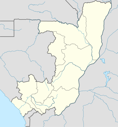 FTX Location in Republic of the Congo | |||||||||||
| Runways | |||||||||||
| |||||||||||
Owando Airport (IATA: FTX, ICAO: FCOO) is an airport serving Owando, a town in and the capital of the Cuvette Department in the Republic of the Congo.
The old runway 09/27 is just south and east of the new runway.
See also
 Republic of the Congo portal
 Aviation portal
- List of airports in the Republic of the Congo
- Transport in the Republic of the Congo
References
- ↑ Google Maps - Owando
- ↑ Airport information for FTX at Great Circle Mapper.
External links
- Current weather for FCOO at NOAA/NWS
- Accident history for Owando Airport (FTX / FCOO) at Aviation Safety Network
This article is issued from Wikipedia - version of the 12/4/2016. The text is available under the Creative Commons Attribution/Share Alike but additional terms may apply for the media files.