Palcasa Airport
| Palcasa Airport | |||||||||||
|---|---|---|---|---|---|---|---|---|---|---|---|
| IATA: none – ICAO: MNPA | |||||||||||
| Summary | |||||||||||
| Airport type | Public | ||||||||||
| Owner/Operator | Palmares del Castillo S.A. | ||||||||||
| Serves | El Castillo | ||||||||||
| Elevation AMSL | 174 ft / 53 m | ||||||||||
| Coordinates | 11°04′00″N 84°24′35″W / 11.06667°N 84.40972°WCoordinates: 11°04′00″N 84°24′35″W / 11.06667°N 84.40972°W | ||||||||||
| Map | |||||||||||
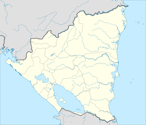 MNPA Location of the airport in Nicaragua | |||||||||||
| Runways | |||||||||||
| |||||||||||
|
Sources: HERE Maps[1] | |||||||||||
Palcasa Airport (ICAO: MNPA) is an airport serving the town of El Castillo in Río San Juan Department, Nicaragua. The airport is 5.5 kilometres (3.4 mi) north of El Castillo, midway between the small towns of La Palma and Las Colinas. It is surrounded by and supports the palm oil plantations of Palmares del Castillo S.A. (PALCASA).[2]
See also
 Nicaragua portal
 Aviation portal
- List of airports in Nicaragua
- Transport in Nicaragua
References
- ↑ HERE Maps - Palcasa
- ↑ Palmares del Castillo (Spanish)
External links
This article is issued from Wikipedia - version of the 12/5/2016. The text is available under the Creative Commons Attribution/Share Alike but additional terms may apply for the media files.