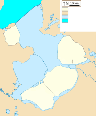
Pilot Polder Andijk

(1957)
(1967)
The pilot Polder Andijk, or Test Polder Andijk, Proefpolder Andijk in Dutch, is a polder established in 1926 - 1927 in the Zuiderzee near the village of Andijk. The aim of this prototype is to study the embankments and agriculture for future polders in the Zuiderzee Works.[1] In 1929, the pilot polder was inaugurated by Queen Wilhelmina of the Netherlands.
Construction
In 1924 the Lovink Committee published a proposal to build a pilot polder.[2] This polder could, on a small scale experiment future agriculture. The knowledge would then be used for the Wieringermeer. For this reason, in 1926-1927 near the village Andijk, 40 hectares of land were reclaimed.[1] On August 27, 1927, the pilot polder was drained. The cost of the polder, about 1 million guilders,[3] was relatively high, but the cost of polders to come should be lower.
Research
The Directorate of Wieringermeer wanted to study the behavior of a soil recovered from the sea, and how saline soils can be cultivated. After the draining was completed, a farm was built as well as laboratories for agriculture, soil science and research in microbiology. Different aspects for optimal use of land have been studied, such as desalination, drying and compacting. Experiments were also made to know the best way to cultivate and to select suitable crops. Some species can concentrate the salt and prepare future plantations.[4]
Results
In 1929, the polder soil tests have given satisfactory results, the proof was given the polder could be cultivated. With the experience gained in the pilot, development of the polder Wieringermeer was accelerated.[5] It has been demonstrated that reclamed soils can be used for agriculture in profitable way.
Later use
In the late twentieth century the polder became a site for holiday homes.[6]
References
- 1 2 Hoeksema, R. J. (2006). Designed for dry feet: flood protection and land reclamation in the Netherlands. ASCE Publications. p. 70. ISBN 978-0-7844-0829-2.
- ↑ Steiner, Frederick R.; H. N. van Lier (1984). Land conservation and development: examples of land-use planning projects and programs. Elsevier. p. 21. ISBN 978-0-444-42253-8.
- ↑ Karger-Decker, Bernt (1963). Wunderwerke von Menschenhand. Koehler & Amelang. p. 408. OCLC 73487630.
- ↑ Wagret, Paul (1968). Polderlands. Methuen Publishing. p. 117. OCLC 462365.
- ↑ Jenkins, Alan C. (1966). The golden band: Holland's fight against the sea. Methuen Publishing. p. 71. OCLC 955509.
- ↑ van der Wal, Coen (1997). In praise of common sense: planning the ordinary: a physical planning history of the new towns in the Ijsselmeerpolders. 010 Publishers. p. 83. ISBN 978-90-6450-302-3.
Coordinates: 52°45′05″N 5°11′43″E / 52.75139°N 5.19528°E