Pirambu (Fortaleza)
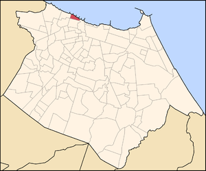
Map of Fortaleza with Pirambu in red
Pirambu is a neighborhood located on the coastal area of the western of Fortaleza, the state capital of Ceará, located in Northeastern Brazil. Some maps refer to this neighborhood covering areas those are beyond the limits configured by Fortaleza city hall, incorporating the neighborhoods of Pirambu and Cristo Redentor, addition to part of another neighborhood called Barra do Ceará. That is because of this area in the past was named Big Pirambu.
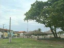
Pirambu
References
- Korol, Wilson (2007). Projeto Costa Oeste Impact Assessment: Analysis and Recommendations for Associacao dos Moradores do Litoral Oeste. Masters project - Duke University
Coordinates: 10°44′S 36°52′W / 10.733°S 36.867°W
This article is issued from Wikipedia - version of the 8/30/2016. The text is available under the Creative Commons Attribution/Share Alike but additional terms may apply for the media files.