Pivabiska River
| Pivabiska River | |
| River | |
| Country | Canada |
|---|---|
| Province | Ontario |
| Region | Northeastern Ontario |
| District | Cochrane |
| Part of | James Bay drainage basin |
| Source | Lac Pivabiska |
| - location | Casgrain Township |
| - elevation | 235 m (771 ft) |
| - coordinates | 49°50′24″N 83°40′07″W / 49.84000°N 83.66861°W |
| Mouth | Missinaibi River |
| - location | Garden Township |
| - elevation | 90 m (295 ft) |
| - coordinates | 50°13′10″N 82°52′21″W / 50.21944°N 82.87250°WCoordinates: 50°13′10″N 82°52′21″W / 50.21944°N 82.87250°W |
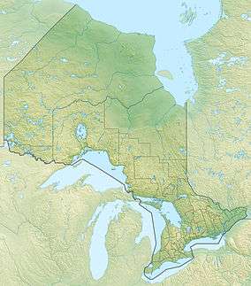 Location of the mouth of the Pivabiska River in Ontario | |
The Pivabiska River is a river in Cochrane District in Northeastern Ontario, Canada.[1] It is in the James Bay drainage basin and is a left tributary of Missinaibi River.
The river begins at Lac Pivabiska in geographic Casgrain Township[2] and heads north. It turns northeast, then east, enters geographic Garden Township[3] and immediately thereafter reaches its mouth at the Missinaibi River. The Missinaibi River flows via the Moose River to James Bay.
Tributaries
- Casgrain Creek (right)
- Lac Pivabiska
- Valentine River
- Pivabiska Narrows
References
- ↑ "Pivabiska River". Geographical Names Data Base. Natural Resources Canada. Retrieved 2014-08-29.
- ↑ "Casgrain" (PDF). Geology Ontario - Historic Claim Maps. Ontario Ministry of Northern Development, Mines and Forestry. Retrieved 2014-08-29.
- ↑ "Garden" (PDF). Geology Ontario - Historic Claim Maps. Ontario Ministry of Northern Development, Mines and Forestry. Retrieved 2014-08-29.
Other map sources:
- Map 14 (PDF) (Map). 1 : 1,600,000. Official road map of Ontario. Ministry of Transportation of Ontario. 2010-01-01. Retrieved 2014-08-29.
- Restructured municipalities - Ontario map #3 (Map). Restructuring Maps of Ontario. Ontario Ministry of Municipal Affairs and Housing. 2006. Retrieved 2014-08-29.
This article is issued from Wikipedia - version of the 8/29/2014. The text is available under the Creative Commons Attribution/Share Alike but additional terms may apply for the media files.