Portland Point
| Portland Point | |
|---|---|
 | |
| Coordinates: 17°42′18″N 77°10′02″W / 17.7048658°N 77.1672821°WCoordinates: 17°42′18″N 77°10′02″W / 17.7048658°N 77.1672821°W | |
| Country | Jamaica |
| Parish | Clarendon |
| Time zone | EST (UTC-5) |
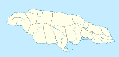
Portland Point is the southernmost point in Jamaica.[1] It is halfway along the island's south coast at the end of a hilly peninsula in Clarendon.[1] A large bay, Portland Bight, lies to the east of it.[1]
See also
References
- 1 2 3 UK Directorate of Overseas Surveys 1:50,000 map of Jamaica sheet H, 1973.
This article is issued from Wikipedia - version of the 4/1/2014. The text is available under the Creative Commons Attribution/Share Alike but additional terms may apply for the media files.