Pukara (Cochabamba)
This article is about the mountain in the Sacabamba Municipality, Esteban Arce Province, Cochabamba Department, Bolivia. For other uses, see Pukara.
| Pukara | |
|---|---|
 Pukara Location within Bolivia | |
| Highest point | |
| Elevation | 3,760 m (12,340 ft) [1] |
| Coordinates | 17°44′20″S 65°47′00″W / 17.73889°S 65.78333°WCoordinates: 17°44′20″S 65°47′00″W / 17.73889°S 65.78333°W |
| Geography | |
| Location |
Bolivia, Cochabamba Department |
| Parent range | Andes |
Pukara (Aymara and Quechua for fortress,[2][3] also spelled Pucara) is a mountain in the Bolivian Andes which reaches a height of approximately 3,760 m (12,340 ft). It is located in the Cochabamba Department, Esteban Arce Province, Sacabamba Municipality. Pukara lies southwest of Atuq Wachana and northwest of Jatun Urqu, southwest of the village of Yana Rumi.[1][4]
References
- 1 2 Bolivia 1:100,000 Punata 3735
- ↑ Radio San Gabriel, "Instituto Radiofonico de Promoción Aymara" (IRPA) 1993, Republicado por Instituto de las Lenguas y Literaturas Andinas-Amazónicas (ILLLA-A) 2011, Transcripción del Vocabulario de la Lengua Aymara, P. Ludovico Bertonio 1612 (Spanish-Aymara-Aymara-Spanish dictionary)
- ↑ Teofilo Laime Ajacopa, Diccionario Bilingüe Iskay simipi yuyayk'ancha, La Paz, 2007 (Quechua-Spanish dictionary)
- ↑ "Sacabamba". INE, Bolivia. Retrieved April 5, 2016.
Capital: Cochabamba | ||
| Provinces | 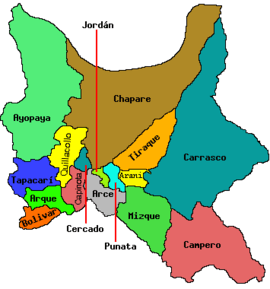 | |
| Municipalities (and seats) |
| |
This article is issued from Wikipedia - version of the 5/2/2016. The text is available under the Creative Commons Attribution/Share Alike but additional terms may apply for the media files.