Punnichy, Saskatchewan
| Punnichy | |
|---|---|
| Village | |
 Punnichy 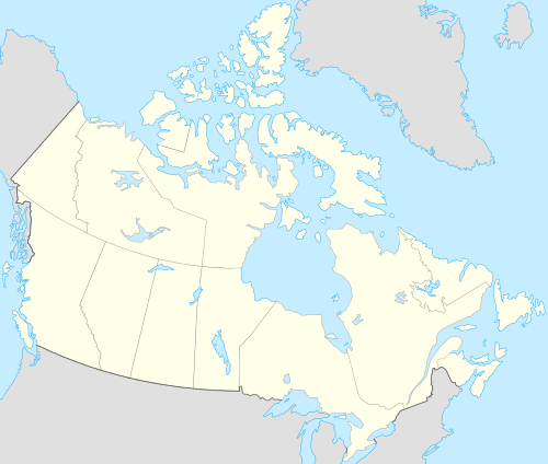 Punnichy Location of Punnichy in Saskatchewan | |
| Coordinates: 51°22′19″N 104°17′35″W / 51.372°N 104.293°WCoordinates: 51°22′19″N 104°17′35″W / 51.372°N 104.293°W | |
| Country | Canada |
| Province | Saskatchewan |
| Region | Saskatchewan |
| Census division | 6 |
| Rural Municipality | Mount Hope |
| Post office | 1909-04-01 |
| Incorporated (Village) | 1909 |
| Government | |
| • Mayor | Lawrence Peyer |
| • Administrator | Donna Colley |
| • Governing body | Punnichy Village Council |
| Area | |
| • Total | 0.68 km2 (0.26 sq mi) |
| Elevation | 610 m (2,000 ft) |
| Population (2011)[1] | |
| • Total | 245 |
| • Density | 363.3/km2 (941/sq mi) |
| Time zone | CST (UTC−6) |
| Postal code | S0A 3C0 |
| Area code(s) | 306 |
| Highways | Highway 15 |
| Railways | Canadian National Railway |
| [2][3] | |
Punnichy /ˈpʌnᵻtʃaɪ/ is a village in the Canadian province of Saskatchewan. It is approximately seventy-nine miles northeast of Regina. This town is part of the original "Alphabet Line" of the main Canadian National Railway line with Lestock to the east and Quinton to the west (the M, N, O towns have long since been deserted). Punnichy derived its name from panacay, "fledgling bird with few feathers", a Saulteaux joke referring to the appearance of a pioneer merchant.
Punnichy is located along Highway 15 in the heart of the Touchwood Hills between the villages of Quinton and Lestock. It is surrounded by four First Nation reserves: Muskowekwan, Kawacatoose, Daystar and Gordon. As of the 2011 census, the population of Punnichy was 245. Punnichy was the location of one of the last operating Residential Schools in Canada, Gordon Indian Residential School, which closed in 1996.
Punnichy is surrounded by the rural municipality of Mount Hope No. 279 and is part of the provincial constituency Last Mountain-Touchwood and federal constituency Regina—Qu'Appelle.
The town has one of the largest RCMP detachments in the area.
In 2009, Punnichy celebrated its centennial.
Demographics
| Canada census – Punnichy, Saskatchewan community profile | |||
|---|---|---|---|
| 2006 | |||
| Population: | 277 (-12.6% from 2001) | ||
| Land area: | 0.68 km2 (0.26 sq mi) | ||
| Population density: | 409/km2 (1,060/sq mi) | ||
| Median age: | 33.1 (M: 30.1, F: 38.2) | ||
| Total private dwellings: | 142 | ||
| Median household income: | $NA | ||
| References: 2006[4] | |||
Education
Punnichy has an elementary school, high school and has a Carlton Trail Regional College centre.
Punnichy Community High School is unique within the Horizon School Division, in that it is run on the pentamester system, with five terms in a school year. The students take two classes each pentamester, one all morning and one all afternoon. Each pentamester is roughly 38 days long.[5]
A satellite facility of Punnichy high school is the George Gordon Computer Education Centre located in the community centre on Gordon First Nation. The facility assists First Nations students to return to school or pick up extra classes to move into post-secondary or job training. The program is "at your own pace" and is similar to "store front" programs in urban centres.
Notable people
- Nolan Yonkman, a defenceman for the Florida Panthers, was born in Punnichy.
- Ernest Luthi, noted Saskatchewan artist
- Jim Sinclair, native political leader
- Dr.Raymond Sentes- Professor of Political Science, Anti-Asbestos Activist[6]
- Jeffery Straker - singer
See also
References
- ↑ "2011 Community Profiles". Statistics Canada. Government of Canada. Retrieved 2014-08-21.
- ↑ National Archives, Archivia Net. "Post Offices and Postmasters". Retrieved 2014-08-21.
- ↑ Government of Saskatchewan, MRD Home. "Municipal Directory System". Retrieved 2014-08-21.
- ↑ "2006 Community Profiles". Canada 2006 Census. Statistics Canada. March 30, 2011. Retrieved 2009-02-24.
- ↑ Horizon School Division # 205. "Punnichy Community High School". Retrieved 2014-08-21.
- ↑ http://www.whitelung.org/jfalerts/raysentes.html
 |
Raymore | Day Star First Nation | Muskowekwan First Nation | |
| Quinton | |
Lestock | ||
| ||||
| | ||||
| Southey | George Gordon First Nation |
| Subdivisions | |
|---|---|
| Communities | |
| Cities | |
| Topics |
|
| |