Punta Curiñanco
| Área Costera Protegida Punta Curiñanco | |
|---|---|
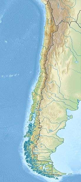 | |
| Location | Los Ríos Region, Chile |
| Nearest city | Valdivia |
| Coordinates | 39°42′59″S 73°24′31″W / 39.716258°S 73.408522°WCoordinates: 39°42′59″S 73°24′31″W / 39.716258°S 73.408522°W |
| Area | 80 ha (198 acres)[1] |
Área Costera Protegida Punta Curiñanco is a natural reserve located 40 km (25 mi) from the city of Valdivia, Chile. The park has an area of 80 ha (198 acres) located in the headland of Punta Curiñanco (Curiñanco Point) at just at the northern end of Curiñanco beach and village and on the western side of the Valdivian Coast Range.[1] Punta Curiñanco covers area that includes different types of Valdivian temperate rain forest as well as coastal shrublands, wetlands and sea-side rocks.
References
- 1 2 Diversidad Biológica del Área Costera Protegida Punta Curiñanco. 2003. Comité Pro Defensa de la Fauna y Flora.
This article is issued from Wikipedia - version of the 11/19/2016. The text is available under the Creative Commons Attribution/Share Alike but additional terms may apply for the media files.