Río Mayo Airport
| Río Mayo Airport | |||||||||||||||||||||||
|---|---|---|---|---|---|---|---|---|---|---|---|---|---|---|---|---|---|---|---|---|---|---|---|
| IATA: ROY – ICAO: SAWM | |||||||||||||||||||||||
| Summary | |||||||||||||||||||||||
| Airport type | Public | ||||||||||||||||||||||
| Serves | Río Mayo | ||||||||||||||||||||||
| Location | Argentina | ||||||||||||||||||||||
| Elevation AMSL | 1,788 ft / 545 m | ||||||||||||||||||||||
| Coordinates | 45°42′14.9″S 70°14′37.1″W / 45.704139°S 70.243639°WCoordinates: 45°42′14.9″S 70°14′37.1″W / 45.704139°S 70.243639°W | ||||||||||||||||||||||
| Map | |||||||||||||||||||||||
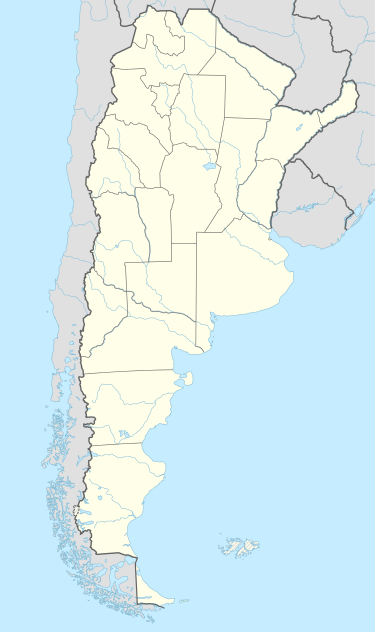 SAWM Location of Río Mayo Airport in Argentina | |||||||||||||||||||||||
| Runways | |||||||||||||||||||||||
| |||||||||||||||||||||||
Río Mayo Airport (IATA: ROY, ICAO: SAWM) is a public use airport located 2 nm south of Río Mayo, Chubut, Argentina.
See also
References
- ↑ Airport record for Río Mayo Airport at Landings.com. Retrieved 2013-08-05
- ↑ Google (2013-08-05). "location of Río Mayo Airport" (Map). Google Maps. Google. Retrieved 2013-08-05.
External links
- Airport record for Río Mayo Airport at Landings.com
This article is issued from Wikipedia - version of the 11/10/2016. The text is available under the Creative Commons Attribution/Share Alike but additional terms may apply for the media files.