R479 road (Ireland)
| ||||
|---|---|---|---|---|
|
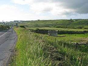
R479 near Doolin | ||||
| Route information | ||||
| Length: | 6.3 km[1][2] (3.9 mi) | |||
| Major junctions | ||||
| From: |
| |||
| To: |
| |||
| Road network | ||||
| ||||

The R479 road is a regional road in Ireland. It is located west of The Burren in County Clare.[1][2] The road forms part of the Wild Atlantic Way.[3]
The R479 travels southwest from the R477 to Doolin. Here the road turns southeast before ending at the R478. The R479 is 6.3 km (3.9 mi) long.[1]
References
- 1 2 3 Google (10 May 2016). "R479 to R479" (Map). Google Maps. Google. Retrieved 10 May 2016.
- 1 2 "S.I. No. 54/2012 – Roads Act 1993 (Classification of Regional Roads) Order 2012". Government of Ireland. 28 Feb 2012. Retrieved 10 May 2016.
- ↑ "Wild Atlantic Way: Explore The Route". Fáilte Ireland. Retrieved 10 May 2016.
This article is issued from Wikipedia - version of the 5/11/2016. The text is available under the Creative Commons Attribution/Share Alike but additional terms may apply for the media files.