RAF Cottam
| RAF Cottam | |||||||||||||||||||
|---|---|---|---|---|---|---|---|---|---|---|---|---|---|---|---|---|---|---|---|
| IATA: none – ICAO: none | |||||||||||||||||||
| Summary | |||||||||||||||||||
| Airport type | Military | ||||||||||||||||||
| Owner | Ministry of Defence | ||||||||||||||||||
| Operator | Royal Air Force | ||||||||||||||||||
| Location | Langtoft | ||||||||||||||||||
| Built | 1939 | ||||||||||||||||||
| In use | 1939-1954 | ||||||||||||||||||
| Elevation AMSL | 492 ft / 150 m | ||||||||||||||||||
| Coordinates | 54°03′48″N 000°28′59″W / 54.06333°N 0.48306°WCoordinates: 54°03′48″N 000°28′59″W / 54.06333°N 0.48306°W | ||||||||||||||||||
| Map | |||||||||||||||||||
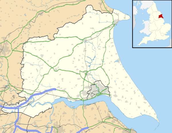
 RAF Cottam Location in East Riding of Yorkshire | |||||||||||||||||||
| Runways | |||||||||||||||||||
| |||||||||||||||||||
RAF Cottam was a Royal Air Force station near Cottam in the East Riding of Yorkshire, England and 3.9 miles (6.3 km) north west of Driffield, East Riding of Yorkshire.
History
Despite being built as a bomber airfield as a satellite to RAF Driffield, poor weather conditions meant it was never used as an airfield. Cottam's watch office was demolished in 1980.[1] The airfield operated until June 1954.[2]
The airfield was then used by RAF Maintenance Command as No. 91 Maintenance Unit RAF (MU) used the runways and buildings for bomb storage.[1]
Current use
The airfield is currently farmland with little remaining buildings spread over the entire site and the dispersed areas however the traces of the runways and dispersals can be seen from the air when using a time rollback feature.
RAF Cottam has a unique claim to fame as the 'virtual' airfield for RAF Air Traffic Controller as well as Flight Operations simulator training at RAF Shawbury.[3]
References
- 1 2 "RAF Cottam airfield". Control Towers. Retrieved 8 April 2012.
- ↑ "Cottam". Airfields of Britain Conservation Trust. Retrieved 8 April 2012.
- ↑ "First Deployment on Operations by a junior Air Operations Officer". Royal Air Force. Retrieved 8 April 2012.
