RAF Manorbier
| RAF Manorbier | |
|---|---|
| IATA: none – ICAO: none | |
| Summary | |
| Airport type | Military |
| Owner | Air Ministry |
| Operator | Royal Air Force |
| Location | Manorbier, Pembrokeshire |
| Built | 1932 |
| In use | 1933-1946 |
| Elevation AMSL | 171 ft / 52 m |
| Coordinates | 51°38′45″N 004°47′00″W / 51.64583°N 4.78333°WCoordinates: 51°38′45″N 004°47′00″W / 51.64583°N 4.78333°W |
| Map | |
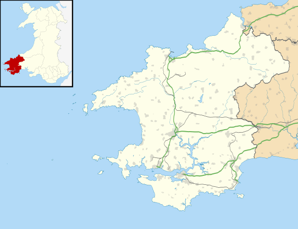 RAF Manorbier Location in Pembrokeshire | |
RAF Manorbier was a Royal Air Force airfield in World War II. It was operational from 1933, closing on 1 September 1946. The airfield was located near the village of Manorbier, Pembrokeshire, Wales.
History
It was under the control of 11 Group and 70 Group, RAF Fighter Command.
One unit resident was the Pilotless Aircraft Unit (PAU) (5 May 1942 – 15 March 1946) which modified aircraft for unmanned operation and another was No 1 AACU 'Y' Flight.[1]
Current use
Nearby, and in current use as of 2008, is the Royal Artillery Range Manorbier (aka Air Defence Range Manorbier).
References
- ↑ "Manorbier". Airfields of Britain Conservation Trust. Retrieved 19 October 2012.
External links
- Manorbier Airfield. Royal Commission on the Ancient and Historical Monuments of Wales
- Experience Pembrokeshire - RAF Manorbier
Royal Air Force portal | ||
| Formations and units |  | |
| Branches and components | ||
| Reserve forces | ||
| Associated civil organizations | ||
| Equipment | ||
| Personnel | ||
| Appointments | ||
| Symbols and uniform | ||
This article is issued from Wikipedia - version of the 12/18/2015. The text is available under the Creative Commons Attribution/Share Alike but additional terms may apply for the media files.