RAF Mullaghmore
| RAF Mullaghmore USAAF Station AAF-240 .png) | |||||||||||||||||||
|---|---|---|---|---|---|---|---|---|---|---|---|---|---|---|---|---|---|---|---|
| IATA: none – ICAO: none | |||||||||||||||||||
| Summary | |||||||||||||||||||
| Airport type | Military | ||||||||||||||||||
| Owner | Air Ministry | ||||||||||||||||||
| Operator |
Royal Air Force United States Army Air Forces | ||||||||||||||||||
| Location | Ballymoney, County Antrim | ||||||||||||||||||
| Built | 1942 | ||||||||||||||||||
| In use | 1942-1946 | ||||||||||||||||||
| Elevation AMSL | 23 ft / 7 m | ||||||||||||||||||
| Coordinates | 55°01′33″N 006°35′49″W / 55.02583°N 6.59694°WCoordinates: 55°01′33″N 006°35′49″W / 55.02583°N 6.59694°W | ||||||||||||||||||
| Map | |||||||||||||||||||
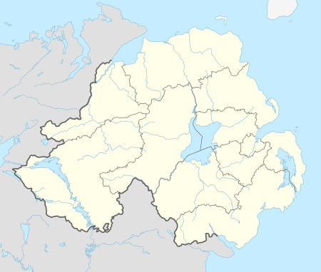 RAF Mullaghmore Location in Northern Ireland | |||||||||||||||||||
| Runways | |||||||||||||||||||
| |||||||||||||||||||
RAF Mullaghmore is a former Royal Air Force station located 4.2 miles (6.8 km) southwest of Ballymoney, County Antrim, Northern Ireland and 4.9 miles (7.9 km) northeast of Garvagh, County Antrim.
History
It was a U.S. 8th Air Force Composite Command base until being passed to the Royal Air Force in May 1944 for use as a training establishment.[1]
Between December 1943 and February 1944 the airfield was used the United States Army Air Forces (USAAF)'s 6th Replacement and Training Squadron (Bombardment) and the 6th Combat Crew Replacement Centre before the unit moved to RAF Cheddington. The airfield was then used for storage until May 1944.[1]
The following units were based there:
- No. 4 Refresher Flying Unit[2] which moved from RAF Haverfordwest and stayed between October 1945 and March 1945.[1]
- No. 7 (Coastal) OTU[2] flying Vickers Wellingtons between December 1942 and January 1944.,
- No. 104 (Transport) OTU[2] arrived from RAF Maghaberry flying Vickers Wellingtons between October 1943 and January 1944.[1]
- No. 281 Squadron RAF.[2]
- 815 Naval Air Squadron.[2]
- 825 Naval Air Squadron.[2]
- 842 Naval Air Squadron.[2]
- 850 Naval Air Squadron.[2]
- 1771 Naval Air Squadron.[2]
The airfield was closed and placed on care and maintenance during May 1945.[1]
Current use
The airfield, now in private hands, is used as a microlight base. It has been known locally as Aghadowey Aerodrome.
See also
References
External links
Royal Air Force portal | ||
| Formations and units |  | |
| Branches and components | ||
| Reserve forces | ||
| Associated civil organizations | ||
| Equipment | ||
| Personnel | ||
| Appointments | ||
| Symbols and uniform | ||